Skip to content
palisades tahoe
Explore
Main Menu
  • Explore Palisades Tahoe
  • Discover Palisades Tahoe
  • Our Name Change
  • Explore Legendary Lifts
  • Palisades Tahoe Blog
  • About Lake Tahoe
  • Mountain Safety
Plan Your Visit
Main Menu
  • Lodging
  • Tickets & Passes
  • Lessons & Guides
  • Deals & Packages
  • Rentals & Demos
  • Travel Here
  • Ikon Pass Benefits
Mountain Information
Main Menu
  • Weather
  • Lift Status
  • Webcams
  • Hours of Operation
  • Trail Maps
  • Parking & Road Conditions
  • Snowfall Tracker
Events & Activities
Main Menu
  • Aerial Tram
  • Events Calendar
  • Activities
  • Dining & Apres
  • Shopping
  • Groups, Meetings & Weddings
  • Ski & Snowboard Teams
Summer High Camp Tram with wildflowers.
Basecamp for Lake Tahoe
Palisades Tahoe is the beating heart of Lake Tahoe adventure. Plan your trip with us today.
PLAN YOUR VISIT
Icon / FlashCreated with Sketch.
View All Offers

Mostly Sunny Tuesday, More Snow Thursday – Friday

  • By Bryan Allegretto
  • Weather
  • Mar 16, 2021

Snowfall Report:

Snow showers Monday dropped an additional 2-4 inches of snow on the mountain. That brought the storm total to 10-12 inches on the mountain. 

Tuesday – Wednesday:

High pressure builds in over CA briefly Tuesday into Wednesday. We should see partly-mostly sunny skies and lighter winds. Highs warming into the 40s at the base and 30s up top. 

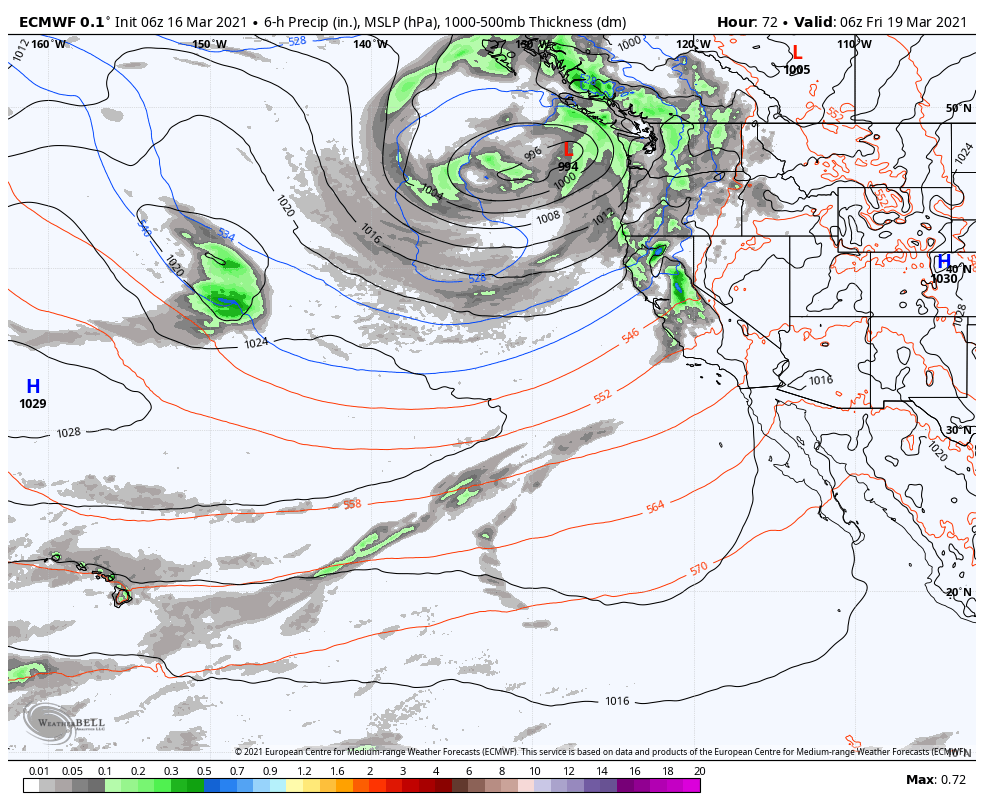
Thursday – Friday Storm:

The next storm could push precipitation back into the region as early as Thursday morning or by afternoon. Initially, we may start with lighter showers Thursday and gusty winds. Ridgetop gusts increasing to 60-70+ mph from the southwest by afternoon, possibly affecting some upper mountain lifts. Snow levels may initially be above the base on Thursday around 6500-7000 ft with some rain at the base.

We could see a period of some heavier precipitation Thursday night into Friday with falling snow levels below the base. Then lighter snow showers possible into Friday night before ending by Saturday morning. Ridgetop winds could continue to be gusty through Friday.

Rain at the base turning to snow Thursday night through Friday night. Mostly all snow expected above 7000 ft. Totals by Saturday morning could be around 4-7 inches at the base and 8-14 inches on the mountain from bottom to top.

The Weekend:

We should see mostly sunny skies and lighter winds for the weekend. Highs in the 40s at the base and 30s on the upper mountain.

Long-Range:

The next storm moves in Monday with some colder air and possibly some light snow. Some of the forecast models keep this system to our north while others bring it far enough south for several inches of new snow. We will continue to watch the trends and will fine-tune the forecast as we get closer.

Starting next Tuesday we may go into a drier pattern through the end of the month. Some long-range models suggest we possibly transition back to a more active pattern around the end of the month into the first week of April.

BA

Share this article
Picture of Bryan Allegretto
Bryan Allegretto

Recent Posts

  • Weather ·
  • April 30, 2025·

Weekend Snow Showers Possible

There is a chance for high elevation snow showers for the first weekend of May. The mountain is aiming to…
Read more
  • Weather ·
  • April 28, 2025·

11 Inch Weekend Snowfall Total!

Snowfall Report: The weekend storm brought snow down to the base as we expected. We saw several inches accumulate on…
Read more
  • Weather ·
  • April 24, 2025·

Winter’s Quick Return

All of the focus this week is on winter’s last gasps over the weekend, as snow showers and low snow…
Read more

Social

Instagram Twitter Facebook Youtube

Contact

   Email Us
   1.800.403.0206

Our Partners

U.S. Forest Service Logo
1960 Olympic Valley Road
Olympic Valley, CA 96146

©2025 Palisades Tahoe

Alterra Mountain Company
  • Privacy Policy
  • Terms of Service
  • Photo Upload Terms of Use
  • Accessibility
  • Do Not Sell My Personal Information
  • Privacy Policy
  • Terms of Service
  • Photo Upload Terms of Use
  • Accessibility
  • Do Not Sell My Personal Information