Snowfall Report:
We picked up another inch of snow on the mountain from the snow showers Saturday morning. That brought the 2-day storm total to 0-2 inches from bottom to top. The southerly flow did its dirty work of keeping the snow west of the mountains as we expected, but we picked up even less than the 1-5 inches we expected from bottom to top.
New Year’s Eve – Tuesday:
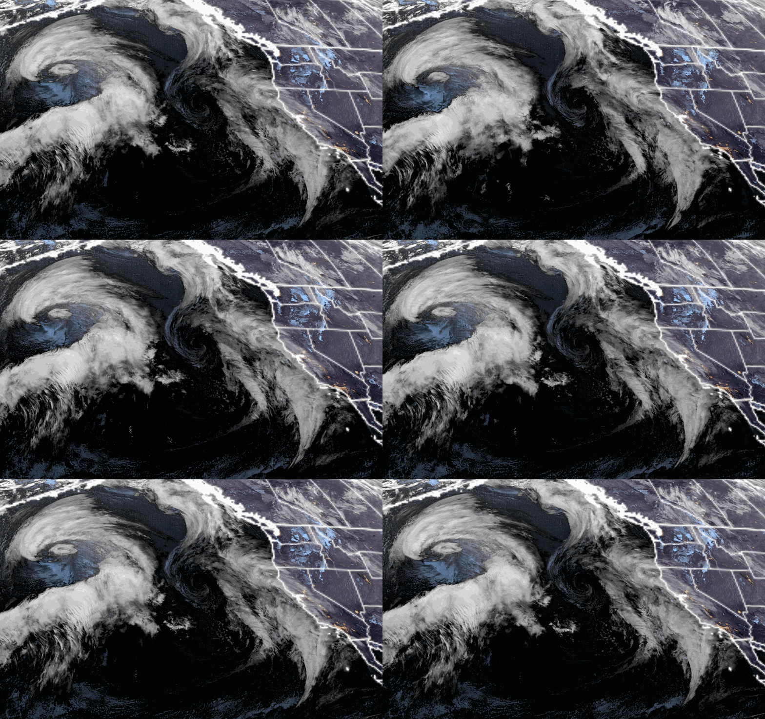
It’s a calm Sunday morning with temperatures in the 20s. We will have partly sunny skies with some high clouds as a storm moving south off the coast spreads some clouds across the Sierra. Highs in the 30s. We should see a bit more sun Monday into Tuesday as that system moves south of the region. Highs continue to be in the 30s, to nearly 40 degrees at the base.
Wednesday Storm:
The latest model runs still don’t completely agree on the timing, track of the next low dropping south down the coast, and precipitation amounts. We will be on the east side of the flow around the low yet again, with southerly flow limiting moisture that pushes over the mountains, and not much orographic enhancement from the mountains.
Depending on the track, the latest model runs show a range of 0.2 – 0.7 inches of precipitation falling over the mountain from early Wednesday morning through Wednesday evening. Then the snow showers should clear out by Thursday morning. Not expecting strong winds with this storm and highs in the 30s.
The snow levels look to start lower with this storm, around 6500-7000 ft. after midnight Wednesday night, and then dropping to the base by Wednesday morning. We could see 1-3 inches of snow near the base, and 2-5 inches on the mountain in total by Wednesday night.
Thursday – Friday:
We are still expecting drier weather behind the storm after the upslope snow showers diminish on Thursday. We should see partly-mostly sunny skies through Friday, with highs in the 30s.
Long-Range Forecast:
We’ve been watching for the pattern to shift around the 6th-7th for over a week now. The long-range models have been fairly consistent in showing a shift toward a negative PNA (western trough) pattern. This should at least bring a colder pattern to the Western U.S. as the initial cold trough digs into the West next weekend.
Cold is always our friend for increased orographic enhancement when the moisture flows over the mountains, and this system looks to have a southwest flow as well like a typical Sierra storm. The only question I have still, is how fast is that high-pressure ridge off the coast going to push closer to the West Coast?
If this system can dig farther south off the coast it would draw in more moisture before moving inland, versus dropping down closer to the coast. The latest model runs show 1-2 inches of precipitation falling over the mountain next weekend, the 6th-7th. That would be enough for 1-2 feet of snow. We’ll continue to watch the trends all week.
2nd Week of January:
The long-range models continue to show the trough continuing east the week of the 8th, with the ridge in the eastern Pacific nudging a bit closer to the West Coast. We should stay in a colder pattern with a chance of seeing cold systems dropping down the west side of the trough from the north. If the ridge is too close we may stay mainly dry, a bit west and we could see systems bring some snow.
We’ll continue to watch the trends on that as well…
Happy New Year!
BA


