

Sunny & Mild Weather:
We have a sunny and mild weather pattern in place for the weekend into early next week, through Tuesday. Highs into the 50s and low 60s for the lowest elevations, and 40s and 50s for the higher elevations.
Unsettle Pattern Ahead:
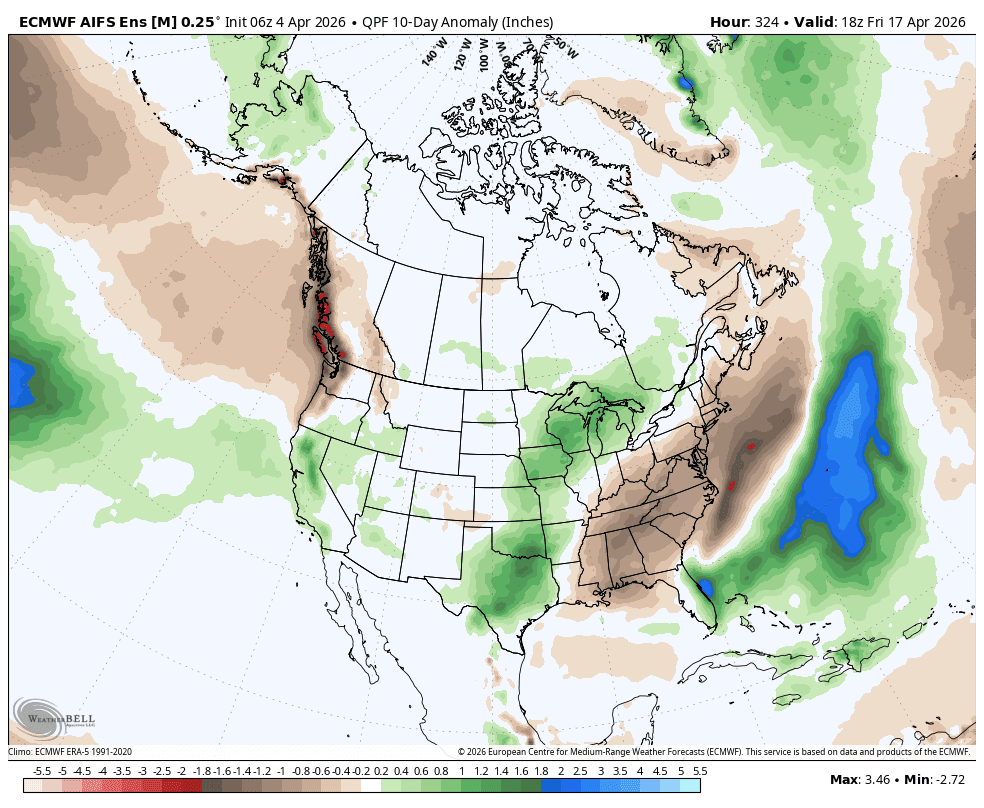
The pattern shifts by Wednesday with the strongest high pressure forecast to be mostly in the north Pacific and eastern U.S., and troughing over the West Coast. This pattern could last for at least 10 days through mid-April.
We could see a typical spring storm pattern where we have closed or cut-off lows wobbling through the region slowly, bringing in moisture that could be amplified each afternoon by daytime heating. The latest model runs show systems bringing rain and snow showers almost daily starting Wednesday.
Some forecasts show a wetter storm possible around mid-month. Overall, we expect a cooler and unsettled pattern to last a while once we shift midweek. Highs in the 40s and 50s for the lower elevations each day, and 30s and 40s for the higher elevations.
The precipitation amounts each day, and the snow levels will be hard to forecast until within a couple of days of each system. The latest model runs are showing up to 1-2 inches of total precipitation over the mountain just through the 15th, before a wetter storm is possible.
The snow levels could fluctuate mainly between 7000-8000 ft. through the period, but possibly a bit lower if the center of a low-pressure system moves over the region. That means this pattern could bring mostly rain showers to the lower elevations down to the base, a mix near mid-mountain, and snow above 8000 ft.
This pattern should slow higher elevation melting, but the rain can continue to help lower elevation melting even with cooler temperatures. The higher elevations could add several inches or more of new snow over the next two weeks, helping to keep the higher elevation terrain longer later into April.
We’ll continue to watch the trends with more details on potential snowfall amounts as each system gets closer.
BA
