Palisades Tahoe Logo Palisades Tahoe Logo Palisades Tahoe Logo
Explore
  • Explore Palisades Tahoe
  • Our New Name
  • Explore Legendary Lifts
  • Palisades Tahoe Blog
  • About Lake Tahoe
  • About Us
Plan Your Visit
  • Tickets & Passes
  • Lodging
  • Lessons & Guides
  • Deals & Packages
  • Rentals & Demos
  • Travel Here
  • Getting Around
Mountain Information
  • Snow and Weather
  • Lift and Grooming Status
  • Webcams
  • Hours of Operation
  • Trail Maps
  • Parking & Road Conditions
  • Snowfall Tracker
Events & Activities
  • Events Calendar
  • Activities
  • Dining & Apres
  • Shopping
  • Things To Do In Lake Tahoe
  • Groups, Meetings & Weddings
  • Ski & Snowboard Teams
IKON PASS HOLDER LODGING DISCOUNT

Ikon Pass holders save up to 25% on slopeside lodging at The Village at Palisades Tahoe.

SLOPESIDE LODGING
Icon / FlashCreated with Sketch.
View All Offers
  • Weather

Mild Thru Sunday, Unsettled Monday

  • Apr 2, 2021
  • 8:53 am

Thursday – Saturday:

We stay in a dry pattern through the weekend. Mostly sunny with highs into the 50s on the mountain and near 60 degrees at the base. Sunday ridgetop winds could be gusting 40-50+ mph from the southwest.

Monday System/Cooldown:

A trough moves through Monday with highs dropping into the 40s and even 30s up top above 8500 ft. The forecast models continue to pull back on precipitation chances with the splitting system. Snow levels may also stay at to above 8000 ft.

We could see clouds & sun with a few scattered rain/snow showers Monday into Monday evening. Only a coating of snow at best up top above the snow line. Gusty southwest winds of 50-60+ mph up top, possibly affecting some upper mountain lifts.

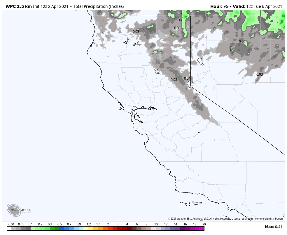
Tuesday – Wednesday:

Sunny skies return Tuesday into Wednesday. Highs in the 50s at the base and 40s up top. Lighter winds expected on both days.

Long-Range:

Another trough is forecast to dig into the West Coast later next week. That could allow a storm to move into northern CA between Thursday and the weekend. We will continue to watch the trends and fine-tune the details on any storms as we get closer.

BA

lake tahoe weather snowfall forecast Squaw Weather Forecast
Bryan Allegretto
Bryan Allegretto

Share this article:

Recent Posts

  • Weather ·
  • May 26, 2022·

Colder with Unsettled Weather for Memorial Day Weekend

It’s the last weekend of the season and we could see a few flakes fall on the mountain! Thursday –…
Read more
  • Weather ·
  • May 17, 2022·

Quick Cooldown Thu-Fri, Then Milder Weather

A cool trough moves through Thursday – Friday. Highs dip down into the 60s at the base Thursday and 50s…
Read more
  • Weather ·
  • May 11, 2022·

After 15″ of Snow, A Return to Spring

Snowfall Report: We have had a cold and wintry first half of the week with several systems that rotated through…
Read more

Social

Instagram Twitter Facebook Youtube

Contact

   Email Us
   1.800.403.0206

Our Partners

U.S. Forest Service Logo
1960 Squaw Valley Road
Olympic Valley, CA 96146

©2022 Palisades Tahoe

Alterra Mountain Company
  • Privacy Policy
  • Terms of Service
  • Photo Upload Terms of Use
  • Accessibility
Menu
  • Privacy Policy
  • Terms of Service
  • Photo Upload Terms of Use
  • Accessibility