

Monday:
Sunny & mild for Monday with highs in the 50s up top and 60s at the base.
Tuesday – Wednesday:
Tuesday into Wednesday a weak system moves north to south through eastern CA. That will cool us down slightly with highs in the 40s up top and 50s for the base.
It will also bring the possibility of a few afternoon showers both days after starting the day with some sun, but a better chance Tuesday than Wednesday. Snow levels may stay above 8000 ft. We could see a coating of snow up top if we see any heavier showers move through, and mainly rain showers for the lower mountain.
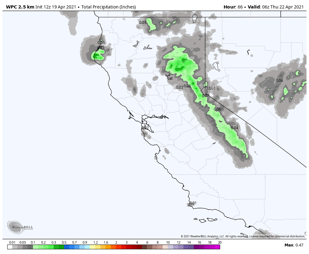
Thursday – Saturday:
We should be dry again for Thursday through Saturday with sunny skies and highs warming back into the 50s on the mountain, and near 60 degrees at the base. We could see breezy winds by Saturday ahead of a storm approaching for Sunday.
Sunday – Monday:
We are tracking a storm headed towards CA for Sunday into next Monday. This system has the potential to bring accumulating snow to the mountain. We will be tracking it all week and fine-tuning the details as we get closer.
Long-Range:
The storm track may shift back to the north by the middle of next week into early May. A few systems could move through that bring a return of afternoon showers.
BA
