

The Week Ahead:
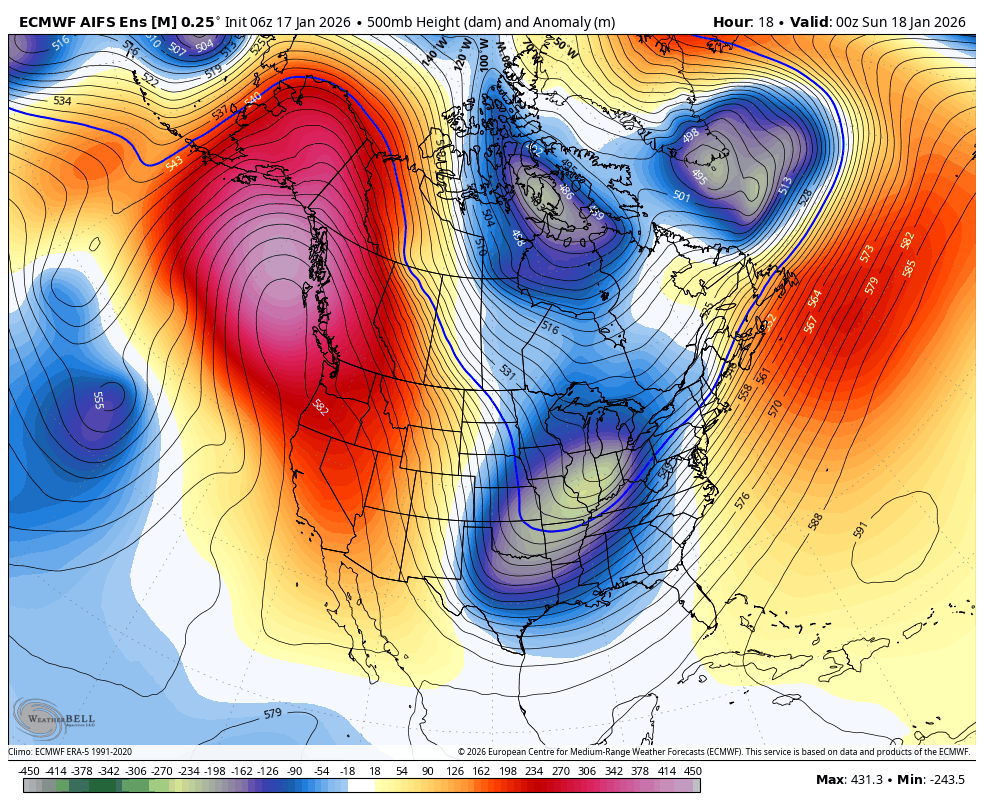
Strong high pressure is sitting over the West Coast this weekend into early next week. That will continue the dry and mild pattern.
The ridge is still forecast to weaken and shift NW by the end of the week, as a cold trough tries to back into the West into next weekend. But it doesn’t look like it will dig far enough west to do more than just cool temperatures slightly by the end of the week.
As high pressure builds over CA again next weekend into the week of the 26th, we should see the dry pattern continue through at least the 27th.
Long-Range Outlook:
The long-range pattern forecast has not changed much since my last post on Thursday morning. The long-range models continue to show a large trough with lower heights in the eastern Pacific near the West Coast by the 28th, associated with a strong jet stream to the south extending towards the West Coast.
It’s extending just far enough for the trough to be near the West Coast and storms pushing close to CA. The question is still how close. Some models show the storms staying off the coast with a dry pattern continuing through the end of the month. Others show the storms pushing into CA during a 4-5 day period starting around the 28th, with a wetter pattern through the end of the month.
In my last post, I said that I was 50/50 on believing we see storms reach CA during this period. I am still 50/50, but I do like that the more reliable European models are the ones showing the wetter pattern. I’ll keep you posted…
BA
