Wednesday – Sunday:
Wednesday through Sunday more of the same weather is expected. Mostly sunny skies with highs into the 40s on the mountain and 50s at the base.
Some breezy/gusty east/northeast winds up top several days, with the highest gusts up to 40+ mph expected Wednesday.
Next Week:
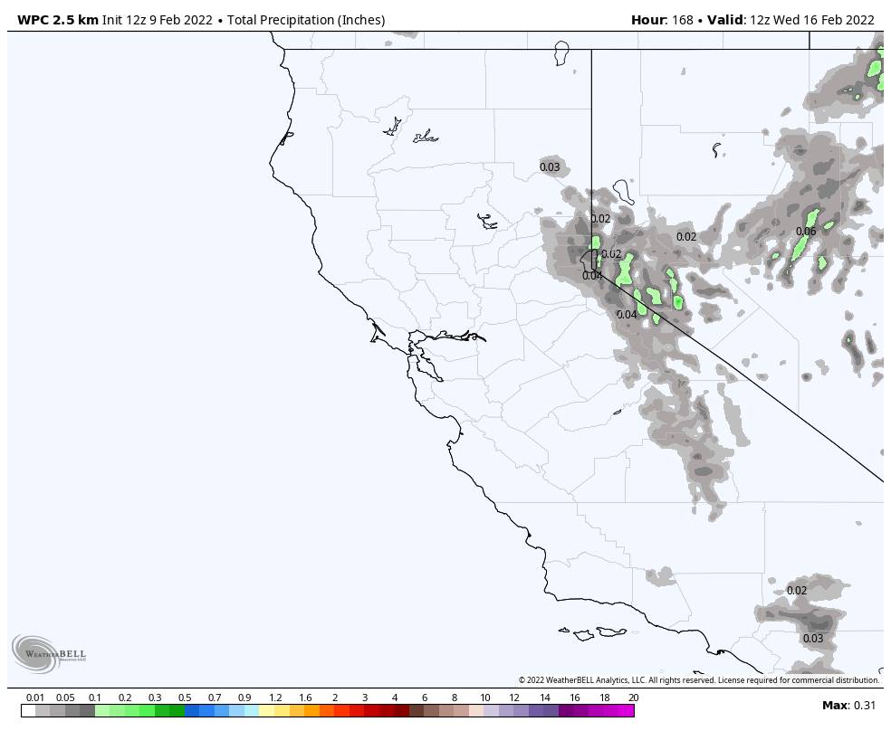
The long-range forecast models continue to show the possibility of a weak system associated with a cold front for Monday night into Tuesday morning. Still a little early to look at snowfall but it looks to be very light, maybe a dusting to an inch or two by Tuesday morning. We will fine-tune the forecast as we get closer.
Then high pressure could shift back closer to the West Coast again by the middle of next week bringing back a drier pattern into the weekend of the 19th. We should be much colder behind the front, maybe only in the 30s by Tuesday and then warming some through the end of next week.
Long-Range:
Going thru the last week of the month (starting around the 21st) there are some better signs that the pattern could open up to storms that could bring some measurable snowfall. We will continue to watch this trend as well.
BA


