Friday:
Mostly sunny Fri. Highs warming into the 40s on the upper mountain and near 50 degrees at the base. Gusty winds Friday as the next system approaches, with ridgetop winds from the south gusting 60-70+ mph by afternoon. Possibly affecting a few upper mountain lifts.
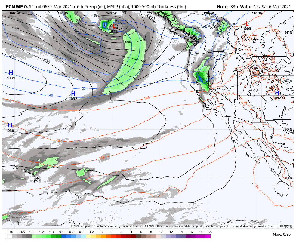
Friday Night – Saturday System:
Friday night into Saturday morning the next system moves into northern California and the Sierra. We may see light snow move in around midnight and lasting into Saturday morning. Then clearing by late morning with the sun coming out through the afternoon. Highs only into the 30s. Ridgetop winds could still be gusting to 70+ mph Saturday morning causing some upper mountain lift delays, but coming down a little through the day.
Snow levels starting out below the base and falling. That will bring drier snow on the mountain. We could see 2-4 inches of fresh snow at the base and 3-6 inches on the mountain by Saturday morning.
Sunday:
Sunday we should see mostly sunny skies with highs in the 30s on the upper mountain and 40s at the base. Ridgetop winds could still be gusty with southwest winds of 40-50+ mph up top.
Monday – Wednesday Storm:
Increasing clouds and winds Monday with snow showers possible by late morning. Gusty ridgetop winds continuing with gusts of 40-50+ mph. Highs only in the 30s. Low pressure will slowly make its way down the CA coast with snow showers possible through Wednesday before clearing Wednesday night.
This is a cold system with highs only in the 30s through Wednesday at the base and 20s up top. The snow showers are expected to be fairly light through the period. Snowfall totals by Wednesday night may be 3-6 inches at the base and 5-8 inches on the upper mountain.
Long-Range:
We may see a drier pattern by the end of next week into the weekend of the 13th. The long-range models suggest we could see more storms during the 3rd and 4th weeks of March. We will keep an eye out and let you know more details as any storms approach.
BA


