Skip to content
Palisades Tahoe Logo Palisades Tahoe Logo Palisades Tahoe Logo
Explore
Main Menu
  • Explore Palisades Tahoe
  • Base to Base Gondola
  • Our New Name
  • Explore Legendary Lifts
  • Palisades Tahoe Blog
  • About Lake Tahoe
  • About Us
Plan Your Visit
Main Menu
  • Tickets & Passes
  • Lodging
  • Lessons & Guides
  • Deals & Packages
  • Rentals & Demos
  • Travel Here
  • Getting Around
Mountain Information
Main Menu
  • Snow and Weather
  • Lift and Grooming Status
  • Webcams
  • Hours of Operation
  • Trail Maps
  • Parking & Road Conditions
  • Snowfall Tracker
Events & Activities
Main Menu
  • Events Calendar
  • Activities
  • Dining & Apres
  • Shopping
  • Things To Do In Lake Tahoe
  • Groups, Meetings & Weddings
  • Ski & Snowboard Teams
IKON PASS HOLDER LODGING DISCOUNT

Ikon Pass holders save up to 20% on slopeside lodging at The Village at Palisades Tahoe.

SLOPESIDE LODGING
Icon / FlashCreated with Sketch.
View All Offers
  • Weather

Increasing Clouds Thu, Gusty Winds & Showers Fri, Light Snow Fri Night

  • Feb 18, 2021
  • 7:46 am

Thursday Forecast:

Increasing clouds through the afternoon as the next system approaches. Highs warming into the 40s at the base and 30s up top. Ridgetop winds turning southwest with gusts of 30-40+ mph through the morning and increasing to 70-80+ mph by evening.

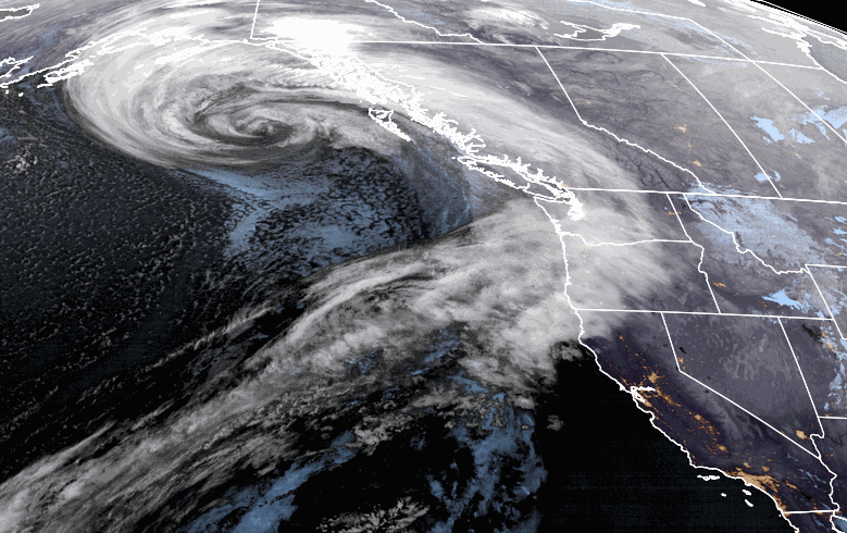
Thursday Night – Saturday System:

A weak system moves in Thursday night. We could see a few scattered showers move through by late Thursday through Thursday evening, but a better chance for showers after midnight into Friday. Snow levels starting out below the base Thursday night and rising as high as 7500 ft. Friday. So we could see some rain on the lower mountain to the base Friday. Ridgetop winds gusting 70-80+ mph from the southwest Friday, so we may see a closure of some upper mountain lifts.

Then a 2nd colder wave moves through Friday night into Saturday morning with snow levels dropping below the base. The snow showers should end by late morning Saturday with clearing through the afternoon. Colder with highs in the 20s up top and 30s at the base. Ridgetop winds dropping with gusts of 20-30+ mph.

Only expecting a coating to an inch of snow up top through Friday afternoon. The colder part of the storm Friday night into Saturday morning could drop 1-3 inches at the base and 2-4 inches of new snow on the upper mountain.

Sunday – Tuesday:

For Sunday, we will have mostly sunny skies and light winds, with highs warming into the 40s for the lower elevations. It should be a beautiful day.

The tranquil weather pattern continues for Mon-Tue with mostly sunny skies expected. Highs warming into the 50s at the base and 40s up top.

Long-Range:

The pattern may shift by the middle of next week into the first few days of March as a cold trough digs into the West. We should see some cooler air later in the week with a weak system or two possibly by the end of next week into the last weekend of the month. 

BA

lake tahoe weather snowfall forecast Squaw Weather Forecast
Bryan Allegretto
Bryan Allegretto

Share this article:

Recent Posts

  • Weather ·
  • March 21, 2023·

Weak Systems & Snow Showers thru Sunday

Tuesday Storm: The next storm pushes snow showers back in by later Tuesday morning, with steadier snow through Tuesday afternoon.…
Read more
  • Weather ·
  • March 20, 2023·

More Weak Systems Tuesday-Friday

Snowfall Reports: No real surprises with the weak storm that moved through on Sunday. We were expecting 3-11 inches from…
Read more
  • Weather ·
  • March 19, 2023·

Two More Storms Sun & Tue

Sunday Storm: Snow showers are moving in Sunday morning, and will continue through the day before becoming more scattered Sunday…
Read more

Social

Instagram Twitter Facebook Youtube

Contact

   Email Us
   1.800.403.0206

Our Partners

U.S. Forest Service Logo
1960 Olympic Valley Road
Olympic Valley, CA 96146

©2022 Palisades Tahoe

Alterra Mountain Company
  • Privacy Policy
  • Terms of Service
  • Photo Upload Terms of Use
  • Accessibility
  • Do Not Sell My Personal Information
  • Privacy Policy
  • Terms of Service
  • Photo Upload Terms of Use
  • Accessibility
  • Do Not Sell My Personal Information