Tue – Wed Storm:
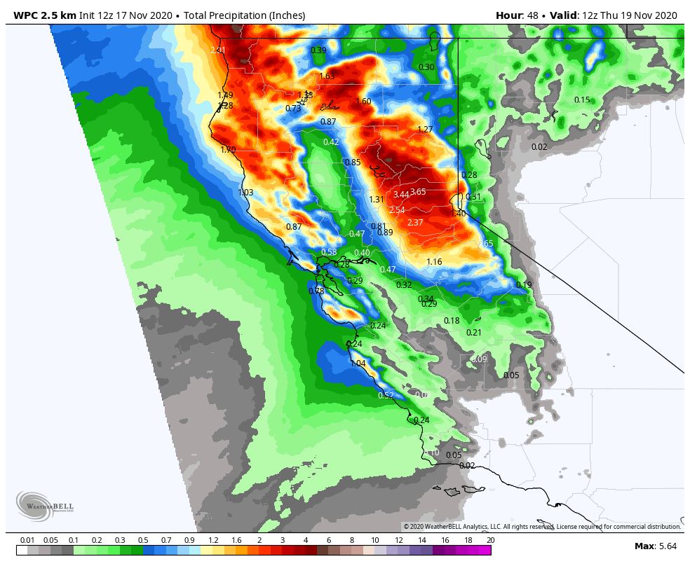
The next storm moves into northern CA Tuesday afternoon/evening and lasts into Wednesday. Then clearing out Wednesday night. The big story for Tuesday will be strong winds with ridgetop gusts to 100+ mph and 70+ mph for Wednesday. We will see increasing clouds through the afternoon on Tuesday.
By Tuesday evening the heavy rain & snow push in with the heavy precip expected into early Wednesday before become more showery Wednesday afternoon and ending Wednesday evening. Snow levels initially start out around 8000 ft. but fall to around 6500-7000 ft. Tuesday night, and then they could lower to 6000-6500 ft. Wednesday morning. That is right near the base of the mountain.
The snowfall forecast for the base will be tricky. We will have to see if the heavy precip can drag snow levels to the base long enough for a few inches of slushy accumulations. Just above the base, we could see 4-12 inches of snow as you head up towards mid-mtn. At mid-mtn, we could see 12-18 inches of snow and 18-24 inches on for the upper mountain.
This will be a nice base building snow that will add to the fresh snow we saw from the last 2 storms, and to the snow from snowmaking over the last 2 weeks!
Thursday – Sunday:
It looks like we will see drier weather Thursday through the weekend, with highs in the 30s behind the midweek system. Warming into the 40s at the base Sat-Sun. Winds should be lighter as well by Thursday afternoon through the weekend. Overnight lows will be cold enough for continued snowmaking.
Long-Range:
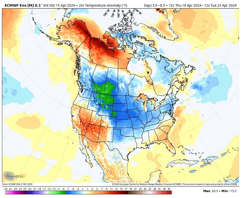
The latest long-range model runs are showing drier weather remaining in place through at least Tuesday. Highs remaining in the 30s on the upper mountain and 40s at the base.
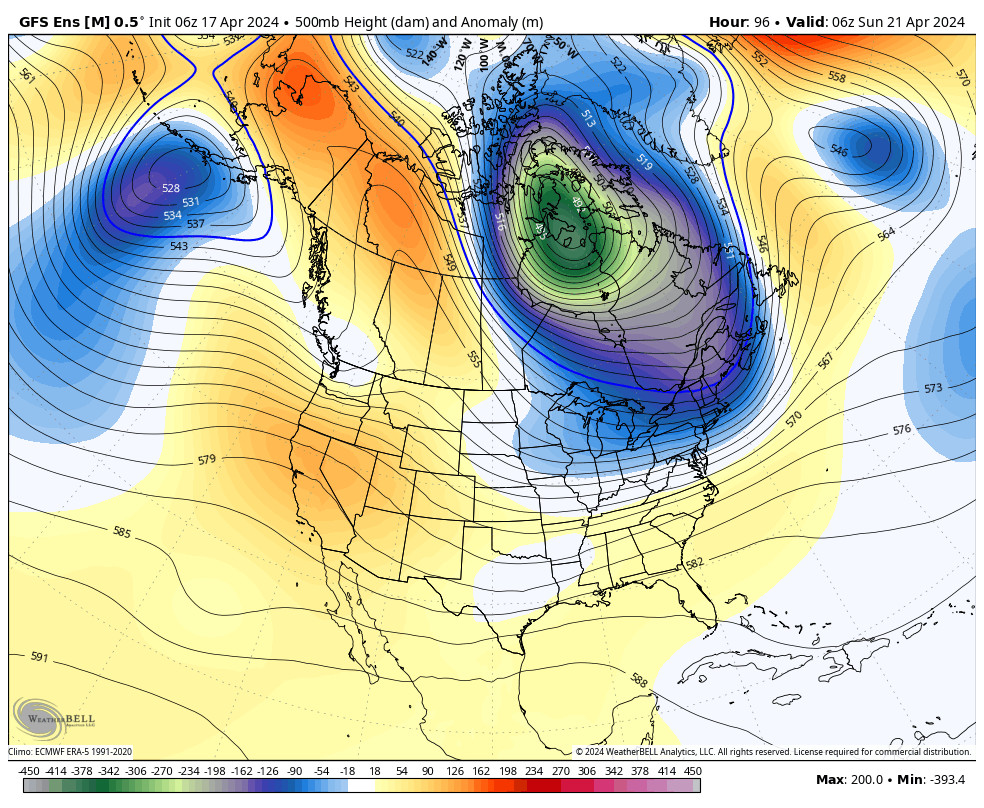
The long-range models are showing more troughs digging into the West Coast later next week through the end of November. That could bring the chance for additional systems to dig into CA. The question will be, can they dig far enough south to bring light snow to Squaw Valley?
We will keep an eye on that and fine-tune the details of any potential storms as they get closer.
BA


