

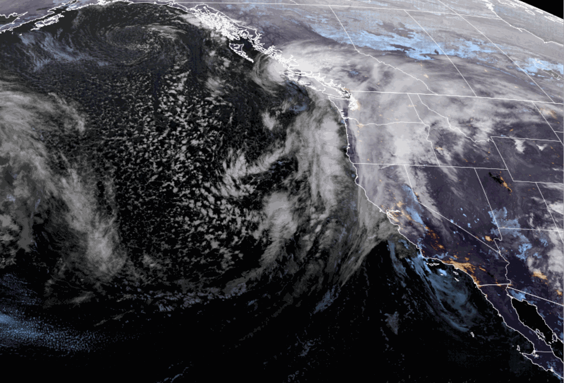
Wednesday – Thursday Storm:
The snow showers are just starting to reach the mountain as of 7 AM, but most of the precipitation is still west of the Sierra. We have southerly winds gusting up to 80+ mph over the exposed ridges, and those will increase to 80-100+ mph by afternoon, closing some upper mountain lifts.
The southerly flow is parallel to the Sierra range which limits orographic lift and eastward forcing over the mountains. That is why we’ll see a slow start today along with highs in the upper 30s to near 40 at the base. The snow levels are near the base as of 7 AM but will rise up to 6500-7500 ft. by midday and then back to around 6000-6500 by evening.
We are only expecting around 2-4 inches of snow on the mountain by 4 PM. The real storm gets going as we go into Wednesday night as the cold front moves through the Sierra and the flow turns southwesterly perpendicular to the Sierra range, with much better forcing and orographic enhancement of the precipitation.
Cold air with the front crash snow levels near to just below 3000 ft. by early Thursday morning. Colder air is even better for orographic enhancement with the colder moist air flowing over the mountains, and it increases snow ratios to around 15-18:1 or better on the upper mountain by Thursday morning. That is a tad less than previously forecast as the snow levels were forecast to go even lower.
Snow showers for Thursday behind the front with highs only in the 20s, and the winds dropping. We could see a final 2-4+ inches of snow by Thursday evening. With the average precipitation forecasts down very slightly and the snow levels not dipping quite as low Thursday night, that has shaved a few inches off of my final snowfall forecast for the storm.
Plus as always I’m trying to be conservative so that if I’m wrong it’s because we receive more than forecast. Storm totals by Friday morning could be around 13-20 at the base, 19-25 inches near mid-mountain, and 23-30 inches up top.
Friday Storm:
Not much has changed with the forecast for the Friday storm that is moving through starting around midmorning into the evening with snow showers. This is a much weaker system. We could see wind gusts up to 50-70+ mph from the west during the day. Highs in the 30s for the lower elevations and 20s for the higher elevations.
The good news is that snow levels will start around 4300-5300 ft. and fall to 3000-4000 ft. Friday night. The colder air will keep the snow ratios fairly high around 14-18:1 on the mountain. That will help to fluff up the snowfall totals from the limited precipitation totals.
By Saturday morning we could see additional snowfall totals of around 2-6 inches at the base, 3-7 inches near mid-mountain, and 4-8 inches up top.
Weekend Weather:
Saturday and Sunday still look to be drier days as high pressure briefly builds in over CA.
We will see partly-mostly sunny skies on both days. Highs are only in the 30s for Saturday and then 40s for the lower elevations on Sunday. Lighter winds for Saturday with a nice day for skiing. The winds and clouds increase into Sunday afternoon ahead of the next storm, with ridgetop gusts up to 80-100+ mph by evening.
Sunday Night – Monday Storm:
The latest model runs continue to show the next storm weakening as it moves inland Sunday night as it encounters the departing high-pressure ridge. Some models show precipitation reaching the mountain by late afternoon on Sunday, but most hold off until evening with the steadiest snow falling Sunday night into Monday morning.
Scattered snow showers are possible for Monday and the storm could clear out Monday night. Highs in the 30s. The winds slowly drop through the day on Monday.
The latest model average still shows enough precipitation from this storm for around 7-14 inches of additional snowfall. I’ll start my detailed snowfall forecasts for the storm Thursday morning.
More Storms Possible:
The long-range models continue to show another brief period of high-pressure building in over CA Tuesday and next Wednesday the 19th. That will bring a break in the storms with highs likely warming into the 30s for the upper mountain and 40s for the base.
Then we are continuing to track two storms for later next week that could move through around Thursday the 20th and Saturday the 22nd. Both possibly catching the northern Sierra on the southern edge as they move through the Pacific NW.
We’ll continue to track these storms to see how far south they dig into the Sierra. Currently, it looks like the Saturday storm has a better chance of digging farther south with heavier snow vs lighter snow showers for Thursday. We’ll continue to watch the trends all week.
Long-Range Forecast:
The long-range models continue to show high-pressure building in near/over the West Coast starting around the 23rd through the last week of March. We are expecting the storm track to shift north during this period with a drier pattern for CA. That doesn’t mean a storm doesn’t dig farther south during the period brushing us, so we’ll watch for that.
BA
