Wednesday Weather:
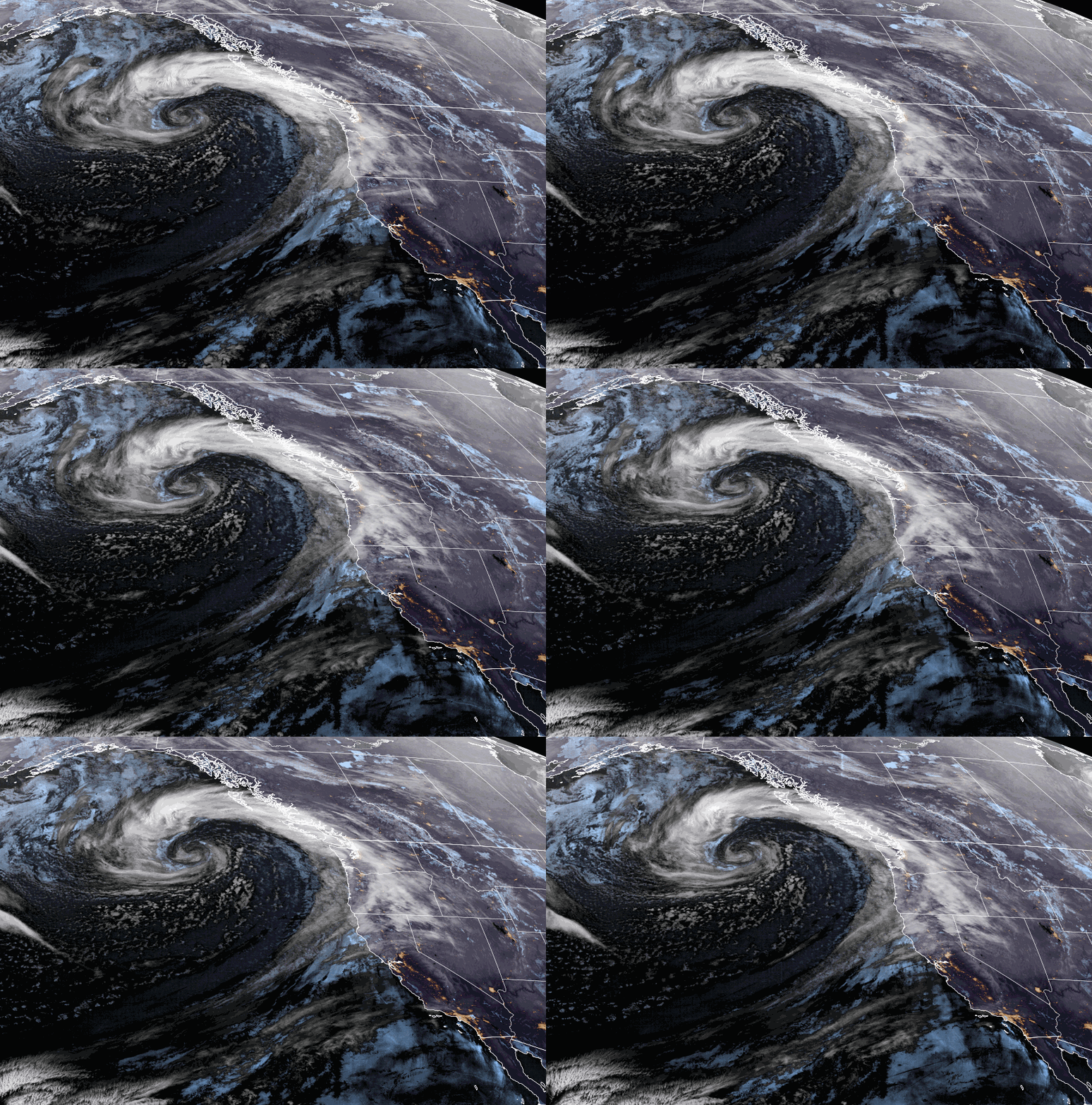
Partly sunny to start with increasing winds and clouds throughout the day as the next storm approaches. Highs in the 30s for the upper elevations and 40s for the lower elevations. Ridgetop winds from the southwest gusting up to 70-80+ mph by the end of the day, possibly closing some upper mountain lifts. Rain & high elevation snow showers could reach the mountain between 1-5 PM.
Wednesday Night Storm:
Wednesday evening the main band of steadier precipitation associated with the cold front pushes in and moves through with the cold front overnight. That will bring heavy snow and falling snow levels overnight.
The latest model runs are drier for Thursday into Thursday night behind the front. We will have partly sunny skies with highs in the 30s, along with some scattered snow showers that could add a dusting to an inch of snow to the mountains. Ridgetop winds will still be gusty Thursday morning but should slowly drop into the afternoon.
Snow levels will be up around 7000-8000 ft. as the lighter precipitation moves in Wednesday afternoon. Then around 6500-7000 ft. Wednesday evening as the steadier precipitation pushes in and falling below the base overnight. Overnight snow ratios could average around 6:1 at the base with part of that being rain, and 10-15:1 between 7000-9000 ft.
We could see storm totals of around 5-9 inches at the base, 12-17 inches near mid-mountain, and 14-20 inches up top. Almost all of this forecast is expected by Thursday morning, so Thursday will be the day to ski, just expect gusty winds in the morning.
Friday – Sunday Storm:
We should see snow showers increase again by Friday afternoon as moisture with the next storm flows into the Sierra. The steadiest snow is expected Friday night into Saturday morning as a weak and thin moisture stream is aimed at the northern Sierra that slides south. Then snow showers are possible for Saturday into Sunday as the flow turns easterly on the north side of the low to our south.
Highs in the 30s through the weekend. We could see the sun peek out at times on Sunday with the scattered showers. The winds don’t look as strong with this storm as the previous storm.
Snow levels fluctuate between 4000-600 ft. through the weekend, which would keep them below the base. Snow ratios could average around 10-15:1 from the base up to the peaks through the weekend. Just over half of the snowfall forecast could fall by Saturday morning, with the other half falling Saturday – Sunday.
In total by Sunday night, we could see around 9-14 inches at the base, 11-16 inches near mid-mountain, and 13-18 inches up top. We could almost double down on the snowfall amounts from the Wednesday night storm but over 3 days instead of in 1 night.
Monday – Wednesday Weather:
The latest model runs continue to show high-pressure building in over the West Coast by Monday through next Wednesday the 3rd. We will see mostly sunny skies each day. Highs warming into the 40s for Monday and 50s for the lower elevations for Tuesday and Wednesday.
Colder Pattern Returns:
By the 4th of April through the 8th, the long-range models continue to show the ridge shifting east with a cold trough settling in over the West. That will bring below-average temperatures again and will open the door to weak systems dropping in from the north.
The latest model runs are back and forth between showing a weak storm or two bringing some snow during the period to storms missing us to the east. We’ll continue to watch the trends.
There are some signs that beyond the 8th high pressure in the eastern Pacific could shift a bit closer to the West Coast. That could mean we have less of a chance for weak storms beyond the 8th, and a milder pattern.
BA


