

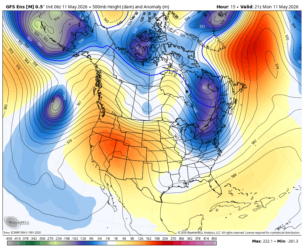
Monday – Tuesday Heat:
We are continuing the heat wave Monday and Tuesday with strong high pressure over the region. Highs into the 70s for the lower mountain and 60s up top, along with mostly sunny skies.
Wednesday Cooldown:
The ridge breaks down and a weak system moves through to our north on Wednesday. That will bring some breezy winds on Tuesday head of the system, and gusty winds Wednesday morning. There is a slight chance of showers on Wednesday, but I’m not expecting much if any.
Highs drop into the 60s for the lower elevations and 50s for the higher elevations. A bit cooler if we see any showers.
Weekend Weather:
Weaker high pressure builds over the region later in the week into the weekend. That will bring us tranquil weather and seasonal temperatures. Highs into the 60s for the lower elevations and 50s for the higher elevations, along with mostly sunny skies.
Long-Range Outlook:
That pattern could last into early next week. The long-range models suggest that the pattern could shift a bit an open up to weak systems bringing chances for showers beyond the 20th. We’ll have to see if the mountain will still be open by then.
BA
