Friday Storm:
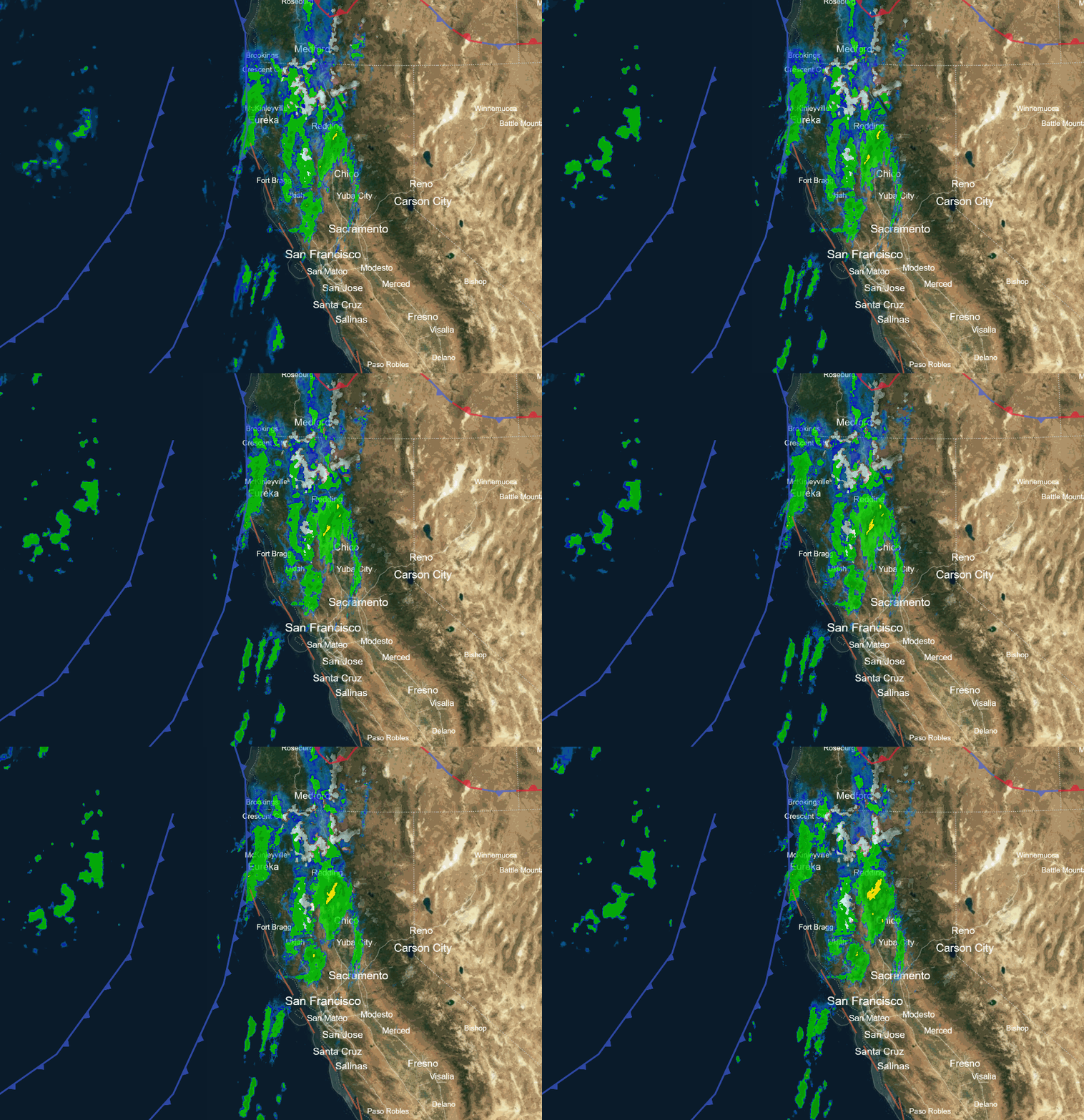
The storm is approaching the northern Sierra Friday morning. As of 7 AM we have ridgetop winds gusting up to 70-90+ mph and snow levels around 7500-8000 ft. We are waiting for the arrival of the precipitation, which will be here later this morning.
The strong winds will likely close some upper mountain ski lifts during the day. Highs in the 30s. The winds may drop a little behind the front during the afternoon. We will see a period of heavier precipitation during the afternoon as the front moves through, and then showers behind the front into Friday evening.
The snow levels will fall as the storm moves in. Likely down to 7000 ft. pretty fast as the precipitation ramps up, and then down to the base by midday, and continuing to fall into Friday night. In total by early Saturday morning, we could have snowfall totals of around 2-5 inches near the base, 4-8 inches near mid-mountain, and 5-9 inches up top.
Drier Pattern:
Saturday through the end of next week we will see strong high pressure build in over the West Coast blocking storms. We will see mostly sunny skies each day with highs in the 30s and 40s. More 40s later in the week. We will likely start to see overnight inversions as well.
The pattern is still forecast to be fairly stuck with a high-pressure ridge over the West and a trough in the east through the 2nd week of January. We will continue to watch closely but right now we are expecting a dry pattern through at least the 14th.
Long-Range Forecast:
The long-range models continue to hint that the pattern could start to change beyond mid-month, with the ridge retrograding northwest up towards Alaska and troughing eventually backing west. We’ll continue to watch the trends to see when a colder and stormier pattern could return.
BA


