

Snowfall Report:
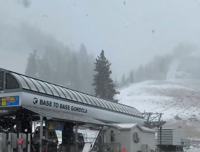
The storm on Thursday brought a fresh blanket of snow to the Tahoe basin. It’s only 6 AM, so I don’t have an official snowfall report, but it looks like around 1-5 inches of new snow fell from bottom to top, adding to the several inches that fell on the upper mountain earlier in the week.
Weekend Forecast:
Mostly sunny days for the weekend with highs in the 40s for the lower elevations and 30s for the higher elevations through Saturday and warming into the 40s to near 50 degrees down near the base for Sunday. It should still be cold enough at night to make some snow.
Thanksgiving Week:
High pressure is still forecast to strengthen over the region through Thanksgiving Day. That will continue the dry pattern through Thanksgiving and likely through Black Friday. Highs warming into the 50s for the lower elevations by Wednesday through Friday, and 40s for the upper mountain.
I am concerned that inversions could start next week at night, with warmer temperatures the higher in elevation you go, and the coldest air in the valleys. That could interrupt snowmaking operations on the mountain if it happens. It is common when high pressure is overhead.
Pattern Change:
By Saturday the 29th, the pattern is still forecast to be shifting with the high-pressure ridge over the West Coast retrograding westward and a cold trough digging down the east side into the West.
The colder air starting next weekend into the 1st week of December seems to be a lock, but the question is, will the ridge off the coast back wet enough for a storm to drop south down the coast close enough to the ocean to draw in some moisture and to bring us some snow during the last weekend of the month?
As of Friday morning, most of the forecast model runs still show a weak system, if any, with only a chance for light snow. We’ll continue to watch the trends all week to see if we can add some fresh snow to the mountain next weekend.
Fantasy Range:
During the 1st week of December, the long-range models are still suggesting that the ridge shifts back closer to the West Coast. That will likely make it harder for any wetter systems to drop into northern CA, just an outside chance for weak systems with a few snow showers.
The long-range ensemble mean models (that average dozens of model runs) still show well below average precipitation for northern CA for the next two weeks. Even if we do see some snow next weekend or weak systems during the 1st week of December.
If the center of the ridge stays off the coast, we should remain in the colder northerly flow into the West, with the temperatures staying on the colder side, which would be good for snowmaking.
I’m still hoping that the ridge backs enough next weekend to bring us a decent shot of snow…
BA
