Snowfall Report:
Snow showers Tuesday afternoon & evening dropped a fresh 2-3″ of snow on the mountain!
Wednesday:
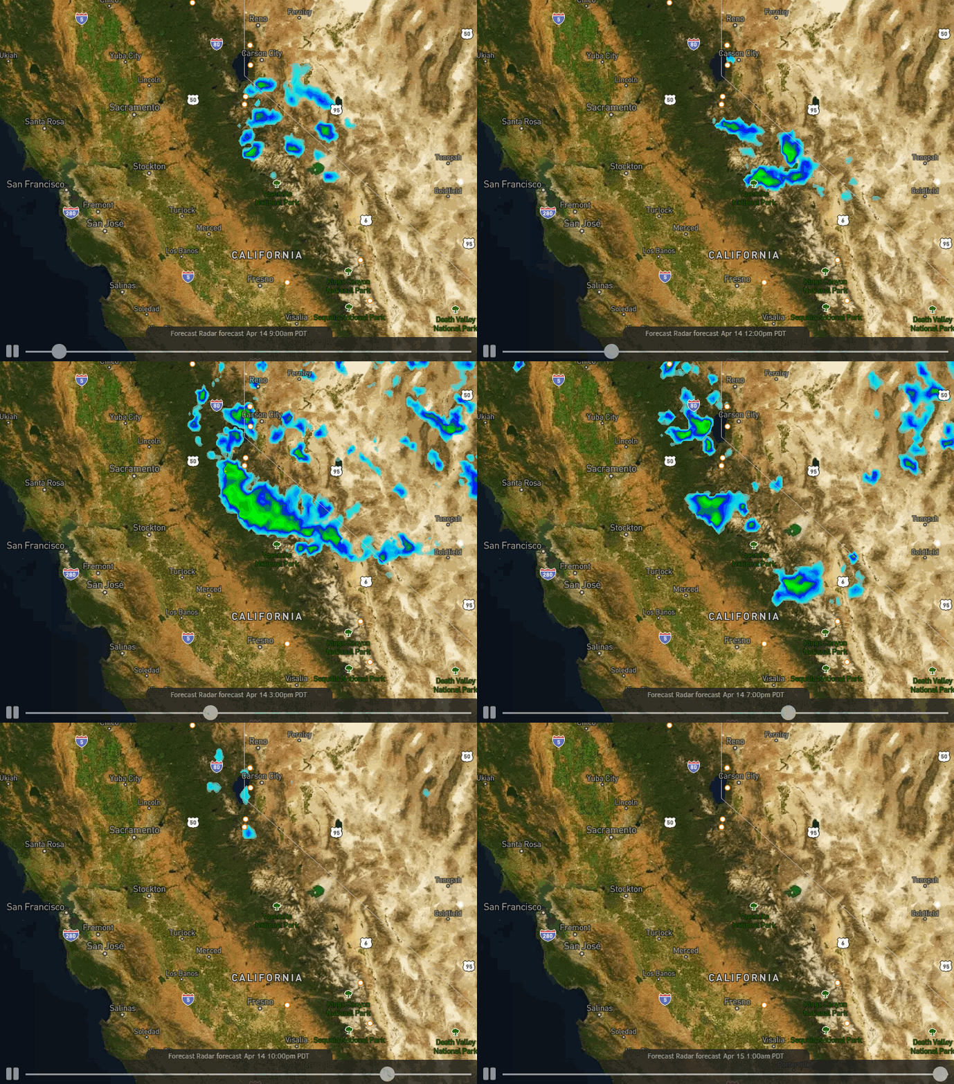
We will have partly sunny skies with clouds and the chance for showers increasing again by afternoon into the evening hours. Snow levels may be above 7000 ft. but they could be dragged lower again if we see heavier bands of showers form over the mountain. Lighter winds expected for Wednesday.
We could see another coating up to a couple of inches of snow on the mountain Wednesday if we see showers form over the mountain. Highs only in the 30s for the upper mountain and 40s at the base.
Thursday – Weekend:
High pressure builds back in as the low moves east starting Thursday. Sunny skies return with highs warming into the 50s at the base and 40s on the upper mountain. Sunny skies continue through the weekend with highs warming into the 50s on the mountain and 60s at the base.
Long-Range:
High pressure may continue over the West Coast into early next week. We could see another system move through by Wed-Thu that could bring a return of afternoon showers, but overall it looks fairly dry through the end of next week.
We are still watching for a potential pattern change that could bring storms into CA during the last week of April.
BA


