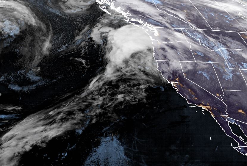
Wednesday:
Partly sunny Wednesday with increasing clouds later in the day as the next storm approaches. Highs in the 30s on the upper mountain and 40s at the base. Ridgetop winds increasing to 50+ mph by sunset.
Wednesday Night – Thursday Storm:
The next storm moves in Wednesday night around midnight with a band of moderate snow with the cold front during the early morning hours Thursday, and then snow showers lingering into Thursday afternoon before clearing by sunset. Snow levels may start out just above the base around 6500-7000 ft. Wednesday night, but should fall below the base fairly quickly with all snow into Thursday.
The final forecast this morning is for 3-6 inches at the base and 6-11 inches on the mountain by Thursday afternoon. Ridgetop winds gusting to 60+ mph early Thursday morning but coming down through the day.
Friday – Monday:
We should see mostly sunny skies and lighter winds Friday through Monday. Highs in the 40s at the base and 30s on the upper mountain.
Long-Range:
The next chance for a very weak system is Tuesday, but that system may stay to our north. We will keep an eye on that over the next few days.
Dry weather expected through Wednesday. Then the next storm brings in snow Wednesday night into Thursday with chain controls and winter driving conditions expected.
BA


