Sunday:
Sunday we will see increasing clouds & winds through the day as the next storm approaches the region. Strong ridgetop winds may hold off until just after the mountain closes.
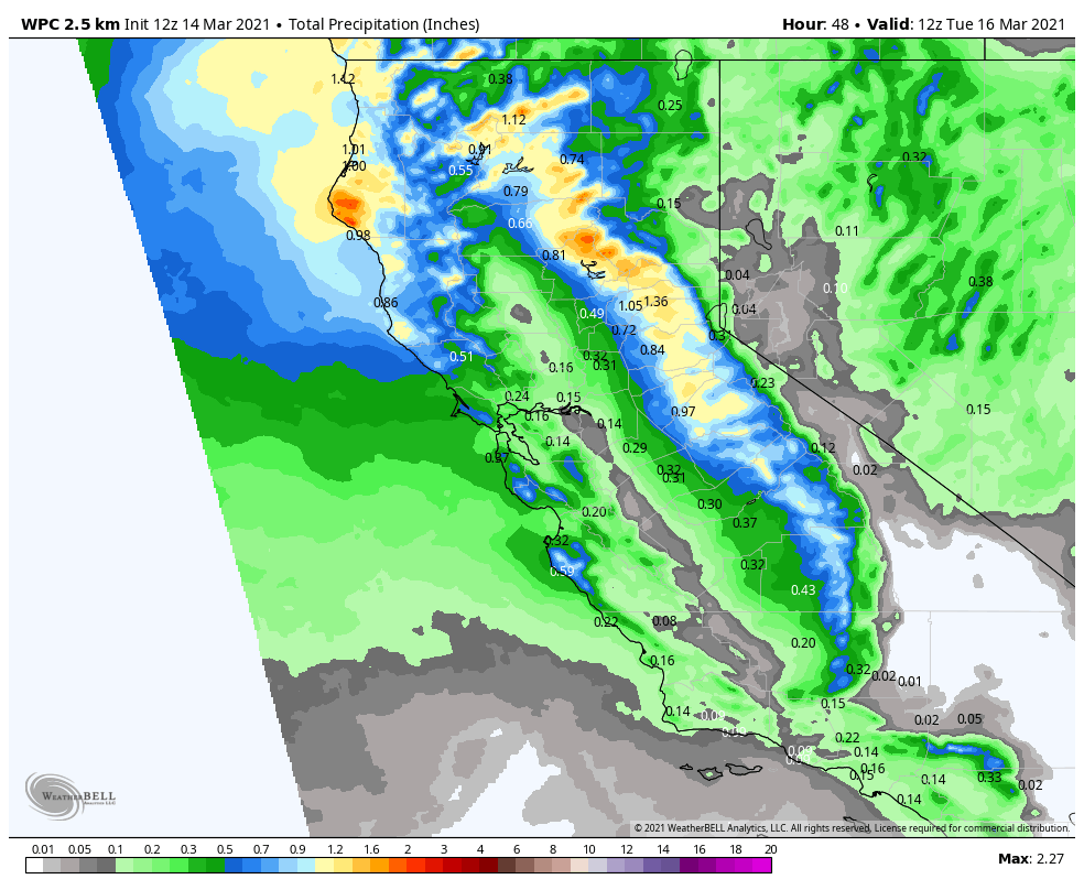
Sunday Night – Monday System:
Snow from the next storm will move in between 6-10 PM Sunday evening. Then a period of heavier snow possible through the early morning hours as the cold front moves through. Most of the snow falls by Monday morning. Monday is cold with scattered snow showers possibly through most of the day, ending by Monday evening. It will be cold with highs only in the 20s. Winds will drop off in the morning and shouldn’t affect any lift operations.
Snow levels starting out just below the base as snow pushes in Sunday evening, then falling snow levels into Monday morning with the cold front. Snow ratios of 14-18:1 on the mountain which is fairly dry and powdery snow by Tahoe standards. Snowfall totals by Monday afternoon could be around 3-7 inches at the base and 5-9 inches on the upper mountain.
Tuesday – Thursday:
High pressure builds in over CA briefly Tuesday into Wednesday. We should see mostly sunny skies and lighter winds. Highs warming into the 40s at the base and 30s up top.
Thursday the next trough is pushing into the West Coast. We may see increasing clouds through the day and some gusty winds by the afternoon. Highs in the 40s.
Long-Range:
We are tracking more storms for Friday into next weekend. Friday into Saturday we could see a stronger/wetter storm and then a weaker/colder system is possible next Sunday into Monday.
It is too early to look at the details of potential snowfall, but we will be looking at the snowfall potential all week as the storms get closer.
BA


