

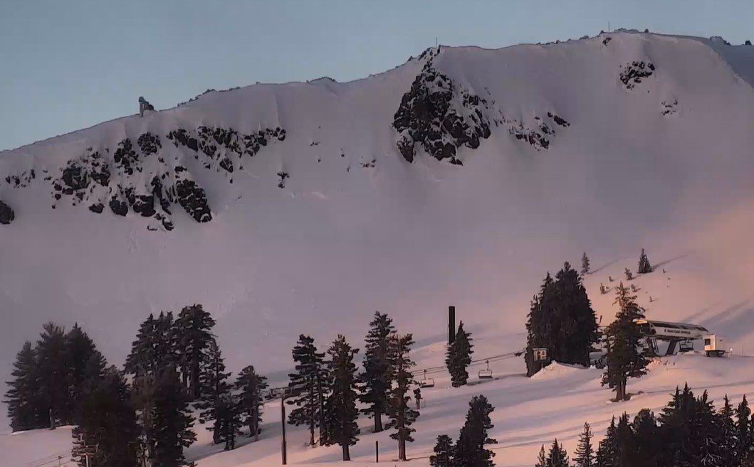
Snowfall Report:
2 inches of new snow fell overnight at the base, and 6 inches on the upper mountain in the past 24 hours. That will bring us a fun morning of fresh tracks behind the storm. The season total is now at 152 inches of snow on the upper mountain, which is close to the 15-year average for the date.
Thursday – Friday Weather:
We are starting the day with temperatures in the teens on Thursday morning, along with lighter winds. We will see mostly sunny skies with highs only in the 20s. A cold, crisp day to get in a few laps on the soft powder that fell overnight. Friday will see mostly sunny skies with highs in the 30s.
Weekend Weather:
High pressure continues to build in over the region over the weekend. Sunny days continue with highs warming into the 40s by Sunday, even up towards the upper mountains.
Milder Weather Next Week:
The trends continue to be for the strong high-pressure ridge to be centered farther south, now over northern CA. That will continue the dry pattern next week, along with overnight inversions, and high temperatures will likely be even milder. Highs could break into the 50s for the lower elevations by Wednesday.
The inversions at night, with the coldest air in the valley and warmer at the top of the mountain, can help the daytime highs to be almost as warm near the top of the mountain as the bottom. Overall, a dry and mild week ahead starting this weekend, and thankfully, we have a base now, so the skiing should be soft with the nice weather.
Long-Range Outlook:
The ridge is still forecast to start shifting NW off the West Coast beyond the 15th, but as I have been saying could happen, the trends are starting to slow and not move high pressure as far NW away from the coast, and the trough is not backing as far west towards the West Coast by the 23rd.
The active phase of the MJO is forecast to move through the same phases as it went through in late November and early December, which seems to be against the long-range models backing the ridge away from the West Coast and opening the storm door too fast later in the month.
The longer-range models continue to suggest that the ridge backs far enough for storms to return during the last 7-days of January, but that is more than two weeks out. We could see other patterns appear that help shift us back to a stormier pattern, anything is possible beyond 10 days, but I don’t want us to be chasing unicorns on the long-range models.
Let’s hope the pattern shifts back towards a stormier pattern sooner than later, and this January dry pattern breaks later in the month into February. We’ll be watching closely…
BA
