Snowfall Report:
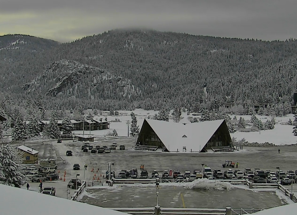
We were expecting 5-10 inches of snow from the Christmas Eve storm, and it dropped 5 inches at the base and 9 inches up top! So no surprises but a nice little storm to refresh the slopes for Christmas Day. That brings the season total up to 118 inches so far, which is right about average for the date!
Christmas Day Weather:
It’s a beautiful morning with lighter winds and cold temperatures in the 20s. A great morning for some soft turns. There will be some sun and some clouds around as you can see the fast-moving jet stream across the Pacific streaming moisture towards the West Coast.
Highs in the 30s and a nice day to ski. Merry Christmas to all of you celebrating!
Wednesday Night – Friday Night Storms:
The storms knocking on our door Wednesday will start to push precipitation into the northern Sierra and Tahoe basin later Wednesday night into early Thursday morning. The first system is pretty weak and should clear out with a bit of a lull by Thursday afternoon. Very light precipitation totals are expected by Thursday afternoon.
Highs in the 30s for Thursday with ridgetop winds gusting up to 70-90+ mph in the morning, and falling to 30-50+ by the end of the day. That could cause some morning lift closures. We could see a dusting up to an inch of snow down near the base with a chance for a little rain to mix in later Thursday morning, and 1-3 inches on the mountain.
Then the next storm pushes in Thursday night with some steadier snow possible. Snow levels should drop back down close to the base, around 6000-6500 ft. We could see some scattered showers linger into Friday morning. Most of the models suggest a lull with only scattered showers around or just dry Friday afternoon through Friday night.
Snow levels on Friday rise up to 7000-7500 ft. while it’s precipitating in the morning. Ridgetop wind from the west up to 50-70+ mph could close some upper mountain lifts again. Highs in the 30s during the day on Friday.
With the fluctuating snow levels and some rain down at the base both days, that limits snowfall and any that falls likely melts fairly quickly. We could see around 4-8 inches near the base before rain & melting, 6-11 inches near mid-mountain, and 9-14 inches up top by early Saturday morning. Most of that falls by Friday morning.
Weekend Storms:
Some models brush us with more rain & high elevation snow showers Saturday, but others keep most of the precipitation to our north. Snow levels likely rising up near 9000 ft. and possibly a bit higher into Saturday night if we see any showers. Highs in the 30s to near 40 degrees down at the base. Ridgetop winds continue to gust up to 50-70+ mph.
On Sunday the final system moves through and digs farther south into northern CA. That will push in some steadier precipitation and some colder air during the day. Most of the precipitation over the weekend is expected to fall during the day on Sunday, with some lingering showers possible into Sunday evening before the storm clears out completely.
Highs in the 30s with ridgetop winds gusting up to 80-100 mph, which will likely close some upper mountain lifts on Sunday.
The snow levels and snowfall forecasting for Sunday will be a little tricky due to the timing of the colder air pushing in. The latest model runs show snow levels starting out around 7300-7800 ft. early Sunday morning, falling to 6300-6800 ft. by midday, and down to 5300-5800 ft. by the end of the day. That means about half of the day seeing some snow down to the lower elevations near the base.
In total by early Monday morning, we could see around 1-4 inches at the base, 2-6 inches near mid-mountain, and 6-11 inches up top. Most of that falls on Sunday.
Drier Pattern for New Year’s Eve – Day:
Starting on Monday high pressure begins to build in over the region, continuing through the 3rd. That will bring us a drier pattern and some nice weather through the New Year’s holiday. Highs in the 30s for Monday and Tuesday with lighter winds, and maybe near 40 degrees at the base by New Year’s Day.
Long-Range Forecast:
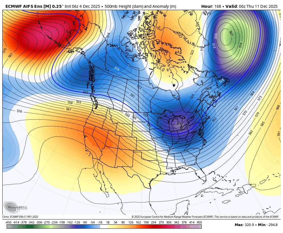
The long-range models disagree on how close to the Sierra a trough could dig by the 4th-5th. The European model keeps high pressure in place with the dry pattern continuing. The GFS model tries to dig a storm down into northern CA. We’ll keep an eye on that over the next week.
Outside of the 4th-5th, the long-range models continue to suggest that the -NAO eastern trough pattern locks in through the 1st week of January, and possibly longer, with the ridge over the West Coast. Not many storms showing up that try to sneak in through at least the 8th.
We are expecting well below average preciptiation for at least 10 days starting on Monday, even if we see a storm bring in some precipitation. We’ll continue to watch the long-range to see when we could see a pattern shift later in January that could open up the storm door to wetter and colder storms.
BA


