

Sunday Weather:
We have some rain & high elevation snow showers falling around the region Sunday morning. Snow levels are around 7000-8000 ft. Sunday but will rise back up to 8000-9000 ft. by afternoon. Highs in the 30s on the mountain and 40s near the base. Ridgetop winds gusting up to 40-60+ mph by afternoon. More showers for Sunday night.
Snow levels stay high Sunday night up around 8000-9000 ft. That will bring rain below 8000 ft. down to the base, and wet snow above 8000 ft. We could see an additional coating to an inch of wet snow above 8k’, and up to 1-3 inches of snow above 9k’, but that is above the top of most of the skiable terrain.
Monday Weather:
Showers should clear Monday morning with a lull in the storms into Monday night. Clouds should be around with the storms so close to each other, but we could also see a little sun along with lighter winds. Highs in the 30s for the higher elevations and 40s for the lower elevations.
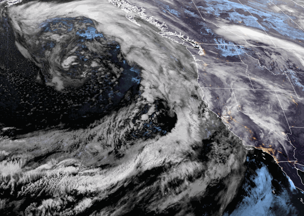
Christmas Eve Snowstorm:
We have a colder storm that is going to bring us a fast-hitting snowstorm during the day on Tuesday. The limiting factor for snowfall with this storm will be how fast it moves through. We could see snow move in across the Tahoe basin between 5-8 AM, with heavy snow expected during the day. The snow could taper off pretty fast on Tuesday evening.
Highs in the 30s. Ridgetop winds will be very strong ahead of the front before sunrise but will be falling through the day on Tuesday. Ridgetop gusts up to 50-70+ mph from the SW in the morning with some lift delays possible, but gusts should drop to around 30-50+ mph by afternoon and less below the ridges.
Snow levels will be high ahead of the initial band of precipitation ahead of the cold front, but are forecast to crash pretty fast as the precipitation moves in Tuesday morning, down to the base near the start. By Tuesday night we could see around 5-10 inches of snow at the base, 7-12 inches near mid-mountain, and 9-14 inches up top!
Christmas Day Weather:
Christmas morning should be the best day of the week for skiing. It will be cold to start along with light winds and sunny skies. Highs in the 30s with temperatures rising above freezing for the lower elevations, so get on the snow early if you want some powder laps.
Thursday Snow:
The storms continue with the next system brushing us on its southern edge Thursday with some light snow. This will be another fast-moving storm with most of the snow expected during the day on Thursday.
Temperatures will still be cold with highs in the 30s. Ridgetop winds increasing with gusts up to 70-90+ mph in the morning, and then falling to around 30-50+ mph from the west by the end of the day. So there may be some lift delays again on Thursday. The snow is expected to taper off by evening, similar to Tuesday.
Snow levels look to stay below the base. We will have to fine-tune this forecast over the next few days as we see how far south the steadier precipitation will push. As of right now, it looks like we could pick up an additional 1-4 inches of snow at the base, 2-5 inches near mid-mountain, and 3-6 inches up top by Thursday evening.
Next Weekend:
The latest model runs show us continuing to be on the southern edge of the storm track through next Sunday. It will be a challenge to forecast precipitation totals until the storms are closer as we are catching the southern edge of the storms. But we have a chance for rain & high elevation snow each day Friday through next Sunday the 29th.
These systems look to be milder with snow level possibly above 8k’ again similar to this weekend. It could also be a windy weekend with ridgetop winds gusting up to 50-80+ mph at times over the 3-day period. That could make for another wet and windy weekend.
New Year’s Eve:
The long-range models continue to show high-pressure building in for the last two days of the month into New Year’s Eve. That could bring some nicer weather into the region for the holiday.
Long-Range Forecast:
The long-range forecast models are at odds with each other on whether the drier pattern continues into the first few days of January, or if the storms return with Tahoe catching the southern edge of the storms again.
There is some agreement that by the 4th of January the mean ridge position is up over Alaska with a trough over the West. That pattern would help to drive colder air down from the north into the west, and some colder systems possible.
BA
