

Saturday- Monday:
We should see mostly sunny skies Saturday through Monday. Breezy west winds gusting to 30 mph up top for Saturday and then lighter winds expected Sunday. Highs in the 40s. Monday sunny skies continue with winds increasing to 50+ mph over the ridges by afternoon as the next system approaches.
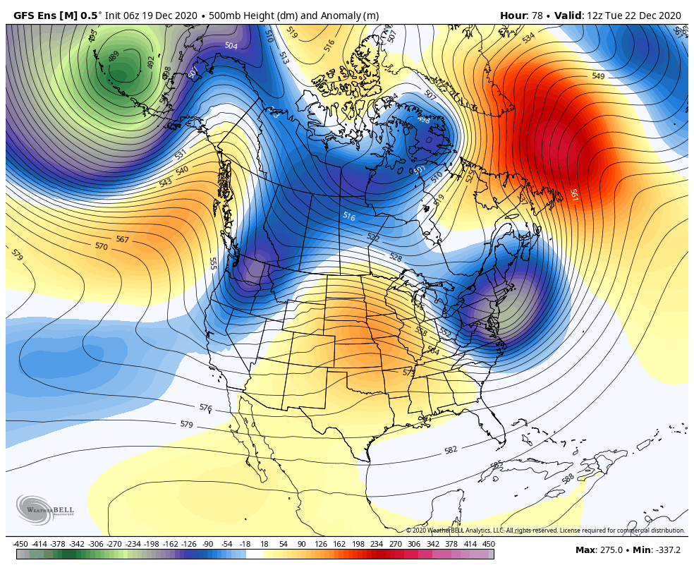
Tuesday System:
A cold trough will move through Tuesday. That will bring colder air for Tuesday-Wednesday with highs dropping into the 30s, and even 20s up top for Wednesday. Gusty winds expected for Tuesday along with some clouds and the chance for a few snow showers. A dusting to an inch at best based on the latest model runs.
Long-Range:
Dry weather expected for Wednesday into Friday morning. The next system could push into CA by Friday afternoon, with some forecast models holding off until Friday night. This system could bring light snow for later on Christmas day into next Saturday. We will continue to track this system for timing, track, & snowfall amounts all week.
The pattern may remain active into the week of the 28th. More on that as we get closer…
BA
