Thursday – Sunday:
Mostly sunny and warming back into the 40s Thursday into Friday. Breezy with west winds of 40-50+ mph over the ridges later Thursday and 30-40+ mph Friday.
Saturday we have a dry cold front moving through with mostly sunny skies continuing. Highs dropping into the 30s. Winds turning northerly and gusting 40-50+ mph up top during the afternoon.
We should see mostly sunny skies again for Sunday with highs warming back into the 40s at the base and 30s on the upper mountain. Lighter east winds.
Monday – Thursday:
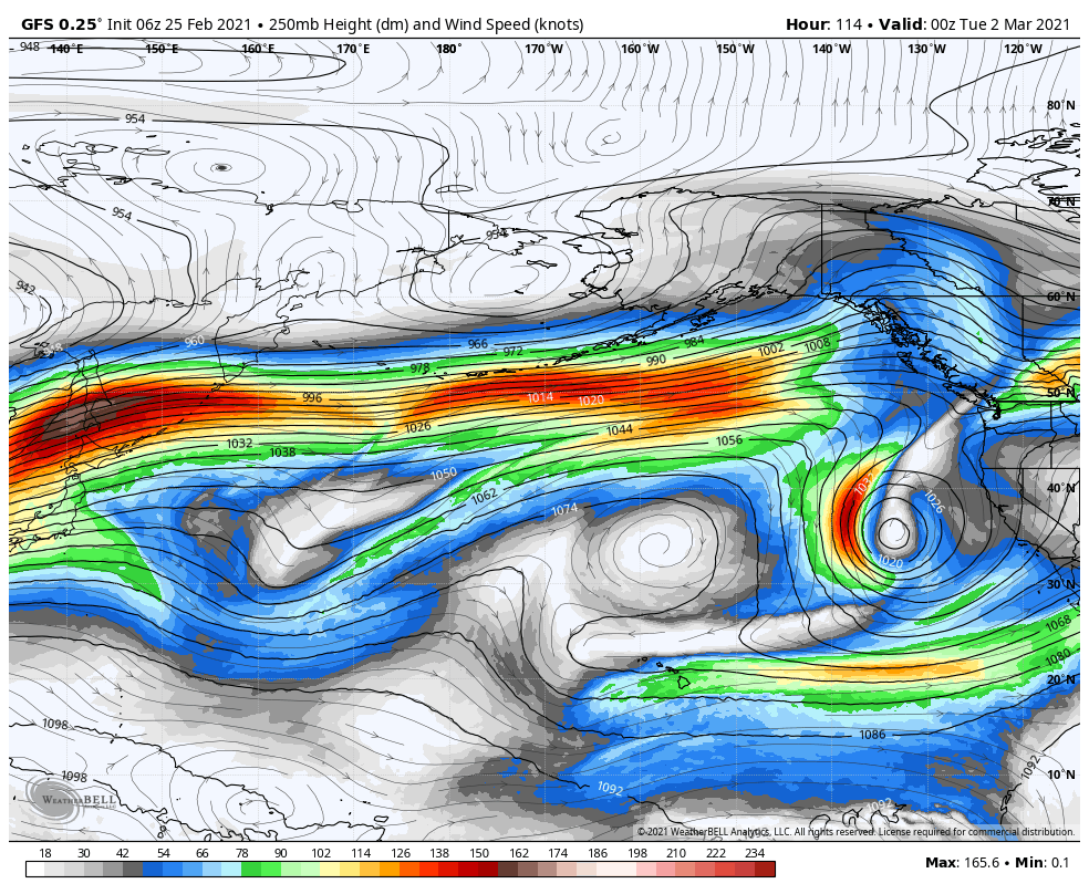
The forecast models are not in agreement with what happens with the next storm next week. Some forecast models have it dropping into northern CA with light rain/snow Mon-Tue, and others have it moving into southern CA Wed-Thu with light rain/snow possible this far north.
One scenario is dry Mon-Tue and the other is dry Wed-Thu, with the opposite days wet. So we will have to try and get a clearer picture over the weekend of when we could possibly see some light snow on the mountain with this system.
Long-Range:
We could see a stronger system move into the West Coast by the end of next week into the weekend of the 6th. We will be tracking that system over the next week as well. The long-range models suggest the more active pattern could continue into the 2nd week of March.
BA


