Monday – Wednesday:
We are in a dry pattern through Wednesday. Mostly sunny with highs into the 50s on the lower mountain and 40s up top. Lighter winds through Monday. Winds up top gusting up to 40+ mph from the southwest by Tuesday afternoon.
Wednesday we could see sun and some clouds with increasing winds from the southwest. Ridgetop gusts increasing to 60+ mph up top by afternoon. That could affect some upper mountain lifts.
Thursday System:
The next storm moves into the region Thursday. Snow showers could start by later morning and continue through into Thursday night. Snow levels could start out near to just above the base and then falling well below the base by Thursday evening.
Highs dropping into the 30s at the base and 20s up top by later in the day. Ridgetop winds could peak Thursday morning gusting up to 80+ mph from the southwest up top and dropping to 60+ mph by afternoon. That could continue to affect some upper mountain lifts.
The latest model runs suggest enough moisture for 1-3″ of snow at the base and 2-5 inches on the mountain by Friday morning.
Friday System:
Another weak but colder system could move in by Friday afternoon and last into Friday night with more snow showers. Maybe 1-3″ of additional snowfall on the mountain by Saturday morning. Highs in the 30s at the base and 20s up top.
Long-Range:
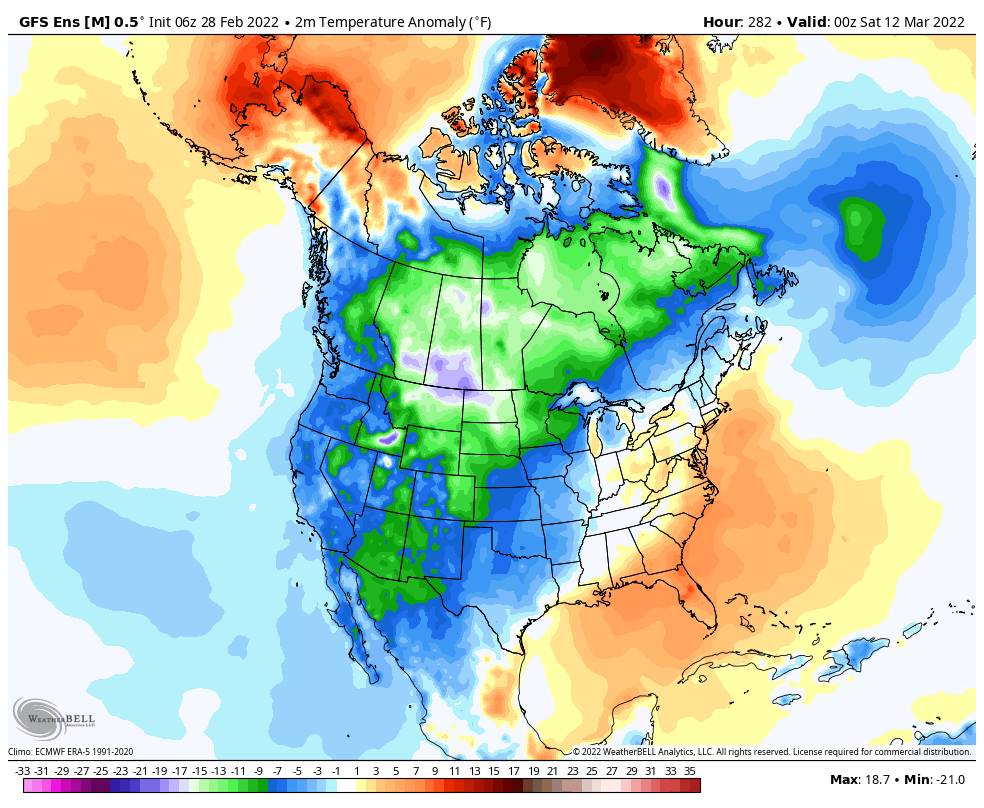
The trough stays over the West through the weekend and into the week of the 7th. That should keep the colder air in place. Additional weak systems could move through the region.
We could see some sun with scattered snow showers and cold temperatures for the weekend. More weak systems could bring snow showers next week with the colder air sticking around.
Still not big storms showing up through the long-range outlook. We’ll continue to watch the trends as we get closer.
BA


