Skip to content
Palisades Tahoe Logo Palisades Tahoe Logo Palisades Tahoe Logo
Explore
Main Menu
  • Explore Palisades Tahoe
  • Base to Base Gondola
  • Our New Name
  • Explore Legendary Lifts
  • Palisades Tahoe Blog
  • About Lake Tahoe
  • About Us
Plan Your Visit
Main Menu
  • Tickets & Passes
  • Lodging
  • Lessons & Guides
  • Deals & Packages
  • Rentals & Demos
  • Travel Here
  • Getting Around
Mountain Information
Main Menu
  • Snow and Weather
  • Lift and Grooming Status
  • Webcams
  • Hours of Operation
  • Trail Maps
  • Parking & Road Conditions
  • Snowfall Tracker
Events & Activities
Main Menu
  • Events Calendar
  • Activities
  • Dining & Apres
  • Shopping
  • Things To Do In Lake Tahoe
  • Groups, Meetings & Weddings
  • Ski & Snowboard Teams
IKON PASS HOLDER LODGING DISCOUNT

Ikon Pass holders save up to 20% on slopeside lodging at The Village at Palisades Tahoe.

SLOPESIDE LODGING
Icon / FlashCreated with Sketch.
View All Offers
  • Weather

Cold with Powdery Snow

  • Feb 21, 2023
  • 8:39 am

Tuesday – Wednesday Snow:

We are starting Tuesday with temperatures in the 30s and even near 40 at the base. Ridgetop winds from the west are gusting up to 50-60+ mph and will increase to 70-80+ mph by afternoon, which should close some exposed upper mountain lifts.

We have a cold front moving in Tuesday afternoon with snow showers breaking out around 1-2 PM. We will see a band of steadier snow move through during the afternoon-evening with much colder air moving in behind the front. We could see a bit of a lull Wednesday morning before snow showers pick back up Wednesday afternoon into Thursday as the next wave dives into the trough.

Very cold air and high snow ratios starting Tuesday night will bring very powdery snow to the mountain. We could see 4-8 inches by Wednesday morning with several more inches by Thursday morning.  Storm totals by Thursday morning of:

  • 8-13 inches at the base.
  • 10-15 inches at mid-mountain elevations.
  • 12-17 inches up top.

Thursday – Saturday Snow:

It will stay very cold through Friday with highs in the teens for the upper mountain and 20s at the base. Ridgetop winds could pick back up a bit Thursday with southwest gusts up to 50-60+ mph. That could continue into Friday morning and then drop through the afternoon and into Saturday. Saturday we could see high temperatures warm a few degrees.

Scattered snow showers continue Thursday. Low pressure is still forecast to spin up off of the Pacific NW coast and moves slowly down the CA coast through Saturday and into SoCal by Sunday. That will continue the snow showers through at least Friday night. Some model runs now show scattered snow showers lingering into Saturday.

Snow levels continue to stay very low through Friday night with powdery snow continuing to fall. We’ll have to keep watching the trends to see if we could see additional light accumulations Saturday. Here is the updated snowfall forecast for possible additional snowfall Thursday through Saturday, with several inches of fresh snow expected on both Friday and Saturday mornings.

  • 14-19 inches at the base.
  • 15-21 inches at mid-mountain elevations.
  • 17-23 inches up top.

Sunday:

We could see a break between storms Sunday morning. Then the next weak system is forecast to move in by Sunday evening, with light snow possible into Monday morning. We’ll have more details on the snowfall with this system as we get closer.

Long-Range:

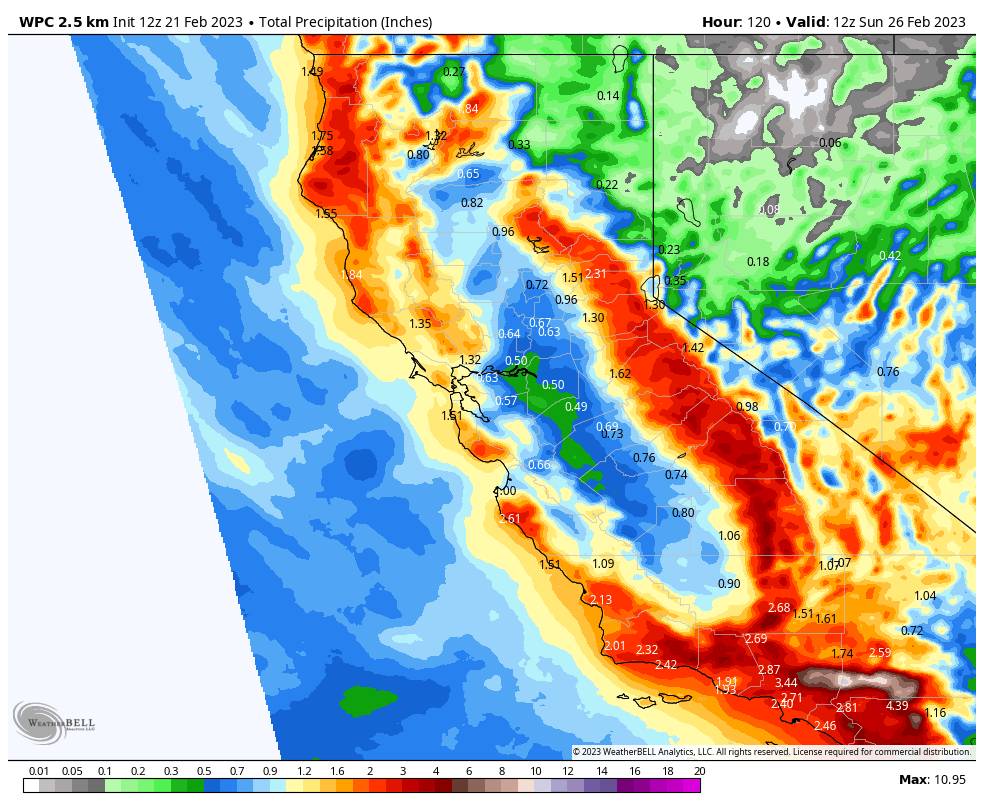
The long-range models continue to show a wetter storm spinning up off the coast by Monday that could bring some heavier snow to the northern Sierra through Tuesday the 28th. This storm could drop significant snowfall on the region. Some models even suggest the snow could last into Wednesday, March 1st.

We could see a brief break later next week, but storms could return by the weekend of the 4th-5th. We’ll continue to watch the trends with more details on each storm as they get closer.

BA

lake tahoe weather palisades tahoe weather forecast snowfall forecast
Bryan Allegretto
Bryan Allegretto

Share this article:

Recent Posts

  • Weather ·
  • March 24, 2023·

Drier w/ Spotty Snow Showers thru Sunday

Snowfall Report: 3-5 inches of new snow fell on the mountain, from the base to the upper mountain, in the…
Read more
  • Weather ·
  • March 23, 2023·

Snow Thursday, Drier for the Weekend

Snowfall Report: An additional 2 inches of snow fell on the mountain in the past 24 hours as of 5…
Read more
  • Weather ·
  • March 22, 2023·

Scattered Snow Showers Continue

Snowfall Report: We were expecting 1-4 inches to fall Tuesday-Tuesday night. We picked up the lower end of the forecast…
Read more

Social

Instagram Twitter Facebook Youtube

Contact

   Email Us
   1.800.403.0206

Our Partners

U.S. Forest Service Logo
1960 Olympic Valley Road
Olympic Valley, CA 96146

©2022 Palisades Tahoe

Alterra Mountain Company
  • Privacy Policy
  • Terms of Service
  • Photo Upload Terms of Use
  • Accessibility
  • Do Not Sell My Personal Information
  • Privacy Policy
  • Terms of Service
  • Photo Upload Terms of Use
  • Accessibility
  • Do Not Sell My Personal Information