Skip to content
Palisades Tahoe Logo Palisades Tahoe Logo Palisades Tahoe Logo
Explore
Main Menu
  • Explore Palisades Tahoe
  • Base to Base Gondola
  • Our New Name
  • Explore Legendary Lifts
  • Palisades Tahoe Blog
  • About Lake Tahoe
  • About Us
Plan Your Visit
Main Menu
  • Tickets & Passes
  • Lodging
  • Lessons & Guides
  • Deals & Packages
  • Rentals & Demos
  • Travel Here
  • Getting Around
Mountain Information
Main Menu
  • Snow and Weather
  • Lift and Grooming Status
  • Webcams
  • Hours of Operation
  • Trail Maps
  • Parking & Road Conditions
  • Snowfall Tracker
Events & Activities
Main Menu
  • Events Calendar
  • Activities
  • Dining & Apres
  • Shopping
  • Things To Do In Lake Tahoe
  • Groups, Meetings & Weddings
  • Ski & Snowboard Teams
IKON PASS HOLDER LODGING DISCOUNT

Ikon Pass holders save up to 20% on slopeside lodging at The Village at Palisades Tahoe.

SLOPESIDE LODGING
Icon / FlashCreated with Sketch.
View All Offers
  • Weather

Cold with Powdery Snow Monday – Tuesday Night

  • Feb 20, 2022
  • 7:49 am

Sunday:

Sunday a cold trough is approaching from the north. We could cool a few degrees back into the 40s and see increasing west winds. Ridgetop gusts up to 70+ mph during the afternoon could affect some lifts by afternoon.

Sunday Night – Tuesday Night Systems:

A cold trough digs down from the north after midnight Sunday night bringing colder air and the chance for snow showers into Monday morning. Highs drop into the 30s at the base and 20s up top with breezy west winds. Right now amounts look light with the front Monday morning with a dusting up to an inch of snow on the mountain.

We could see a break between systems Monday afternoon, but then another cold system drops down through the Sierra bringing an increase in snow showers later Monday through Tuesday night. It will get quite cold with highs only in the 20s at the base and teens up top. We should clear Wednesday but still just as cold.

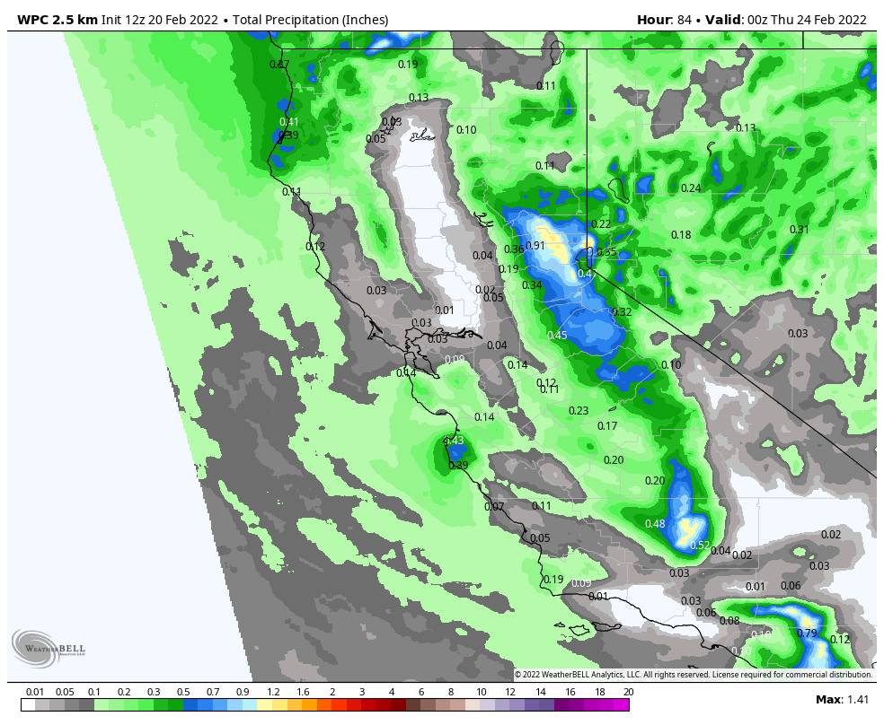
The snowfall forecast is tricky with this type of system, but the cold air helps to fluff the totals with light and powdery snow. Looking at an average of the latest model runs Sunday morning, the totals continue to increase slightly. The updated forecast is for 8-12 inches at the base, and 10-18 inches on the mountain by Wednesday morning.

Long-Range:

We could see a break in the storms with a drier pattern Thursday into Saturday. Warming slightly each day. Starting in the 30s at the base and 20s up top Thu – Fri, and then 40s & 30s for the weekend.

The latest model runs are at odds on whether we could get brushed by a storm the last 2 days of the month or if they stay to our north. We’ll continue to watch the trends.

It looks like we could see a more active pattern return around the 3rd of March. We’ll continue to watch the trends on that as well as we get closer.

BA

lake tahoe weather palisades tahoe weather forecast snowfall forecast
Bryan Allegretto
Bryan Allegretto

Share this article:

Recent Posts

  • Weather ·
  • March 29, 2023·

Partly Sunny Wed-Sun w/ Snow Showers Possible

Snowfall Reports: 12 inches of new snow fell on the mountain in the past 24 hours as of 5 AM…
Read more
  • Weather ·
  • March 28, 2023·

Snow & Strong Winds Tuesday

Tuesday  – Wednesday Storm: Snow showers are pushing in Tuesday morning, with heavier snow expected later in the morning into…
Read more
  • Weather ·
  • March 27, 2023·

Snowstorm Tuesday, Snow Showers Wed-Sun

Monday: Monday will start out sunny with highs in the 30s at the base and 20s up top. Some high…
Read more

Social

Instagram Twitter Facebook Youtube

Contact

   Email Us
   1.800.403.0206

Our Partners

U.S. Forest Service Logo
1960 Olympic Valley Road
Olympic Valley, CA 96146

©2022 Palisades Tahoe

Alterra Mountain Company
  • Privacy Policy
  • Terms of Service
  • Photo Upload Terms of Use
  • Accessibility
  • Do Not Sell My Personal Information
  • Privacy Policy
  • Terms of Service
  • Photo Upload Terms of Use
  • Accessibility
  • Do Not Sell My Personal Information