

Snowfall Report:
4-9 inches of new snow fell on the mountain Monday from bottom to top. The lower end of the forecast but we’ll take it!
Tuesday – Wednesday:
We stay cold with highs in the 30s at the base and 20s up top for Tuesday & Wednesday. Some sun and clouds are expected on both days. There’s a chance for scattered snow showers, especially Tuesday afternoon into Tuesday night. Only a dusting of new snow is expected at best.
Ridgetop winds could still be breezy with gusts from the west up to 30+ mph up top Tuesday increasing to 40+ by the end of the day. Then up to 50-70+ mph Wednesday, possibly affecting some upper mountain llift operations.
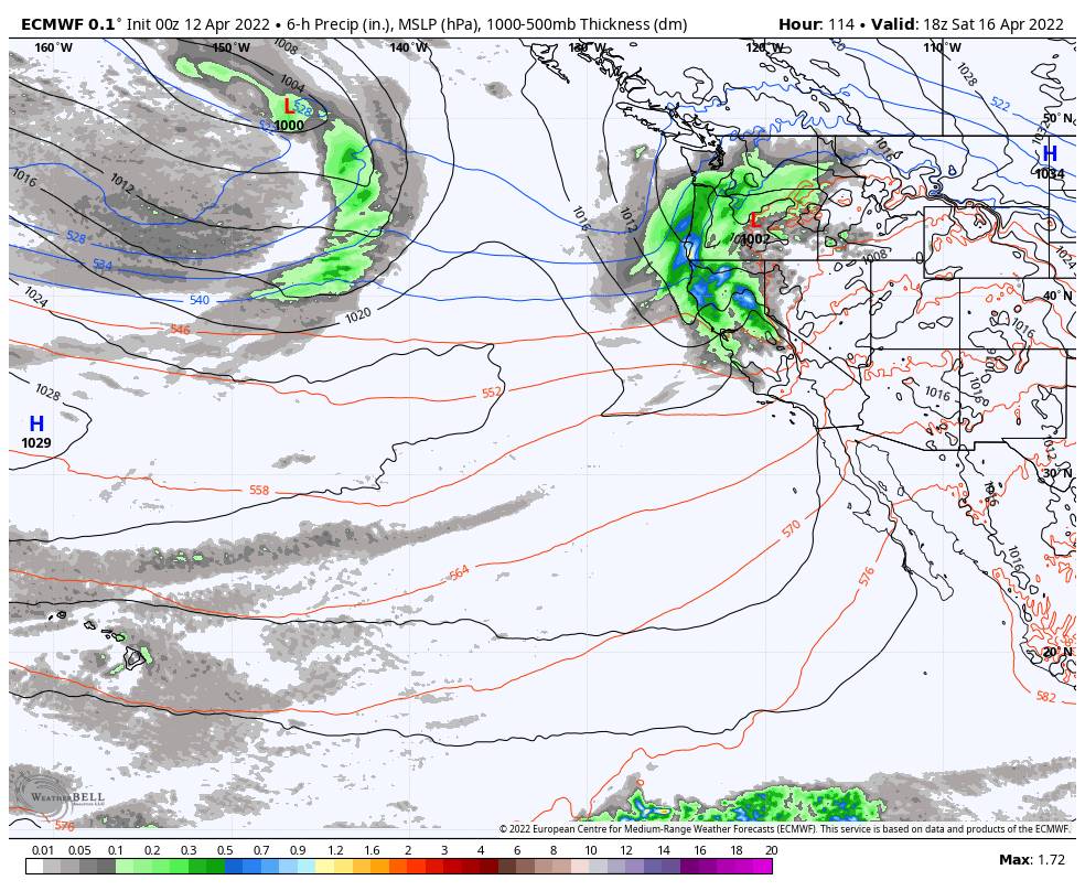
Wednesday Night – Thursday Storm:
The next storm moves in Wednesday night into Thursday with more snow for the mountain. The snow should move in during the evening with snow overnight into Thursday, and snow showers could linger until Thursday evening before clearing completely Thursday night.
It stays cold with highs only in the 30s at the base and 20s up top. The winds crank up again for Thursday with gusts from the southwest up to 80+ mph up top. That will likely close some lifts again. The snow levels should start out well below the base. They could approach the base or just above as some warmer air works in Thursday with some rain possible at the base up to 6500-7000 ft.
We could see an additional 1-5 inches at the base and 3-8 inches on the mountain by Thursday evening.
Friday – Saturday Storm:
During the day on Friday, we could see a break between storms with some sun and clouds. Highs into the 40s at the base & 30s up top. Ridgetop winds from the southwest gusting up to 60+ mph could affect some upper mountain lifts. A few rain & snow showers could arrive during the afternoon with snow levels possibly around 6500-7000 ft. with some rain at the base.
Friday night into Saturday the next storm is expected to push more rain and snow into the northern Sierra. Snow levels could fall to around 6300-6800 ft. Friday night evening and near to below the base by Saturday morning. Highs are only in the 30s with ridgetop winds up to 100+ mph up top, likely closing some upper mountain lifts again on Saturday.
Rain & snow at the base making the forecast tricky, but estimates are for 2-5 inches at the base if we change to snow by Saturday morning. 5-12 inches are expected on the mountain based on the latest forecast model runs.
Long-Range:
We should see nicer weather for Easter Sunday as the sun comes out, the winds drop-down, and highs warm into the 40s at the base. The nice weather should continue into Monday with highs warming into the 50s.
The pattern could become more unsettled again starting as early as Monday night into next Tuesday the 19th with another storm possible. Then the next storm is possible next Friday the 22nd. We’ll continue to watch the trends for each as we get closer.
BA
