

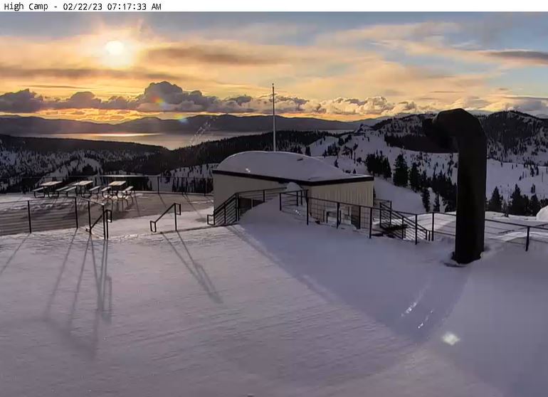
Snowfall Report:
We picked up a little less snow than expected with the fast-moving cold front that moved through Tuesday afternoon-evening. We expected a few more snow showers to fire up behind the front overnight. The mountain picked up 1-2 inches of new snow from bottom to top. No complaints, we have a lot more on the way!
Wednesday Snow:
We are starting Wednesday with a little bit of sun and clouds with very cold temperatures in the single digits, along with lighter winds. Clouds will increase with snow showers filling back in by the afternoon and continuing into Thursday morning.
With the very cold air, we will have high snow ratios with very powdery snow falling on the mountain. Here is the updated forecast for additional snowfall expected by Thursday morning.
- 4-8 inches at the base.
- 5-9 inches at mid-mountain elevations.
- 6-10 inches up top.
Thursday – Saturday Snow:
It will stay very cold through Friday with highs in the teens for the upper mountain and 20s at the base. Ridgetop winds pick back up Thursday with southwest gusts up to 50-60+ mph which could affect a few lifts. Lighter winds Friday. Saturday we could see high temperatures warm a few degrees into the 20s to near 30 at the base along with gusty east winds in the morning.
Scattered snow showers continue through Thursday night. Low pressure moves down the CA coast Friday and into SoCal Saturday. That will bring some steadier snow to the mountain Friday with several inches up to a foot of new snow possible during the day, and then several more inches possible Friday night. Saturday we may only see a dusting up to an inch or two with any scattered snow showers lingering.
Snow levels continue to stay very low through Friday night with powdery snow continuing to fall. Here is the updated snowfall forecast for additional snowfall expected Thursday through Saturday.
- 16-23 inches at the base.
- 20-26 inches at mid-mountain elevations.
- 23-29 inches up top.
There is a disagreement among the forecast models on how fast the snow showers clear out Saturday, with some showing Saturday afternoon and others not until Saturday night.
Sunday:
We could see a break between storms Sunday morning but with increasing winds ahead of the next storm. Highs into the 20s on the mountain and near 30 degrees at the base. Then the storm is forecast to move in sometime Sunday afternoon with light-moderate snow continuing into Monday morning.
We could see several inches of new snow by Monday morning. Ridgetop winds could hit 60-70+ mph by Sunday afternoon which would likely close some upper mountain lifts. We’ll have more details on the snowfall with this system as we get closer.
Long-Range:
The long-range models continue to show a wetter storm moving in by Monday afternoon and lasting through Tuesday, with snow showers possibly lingering into next Wednesday, March 1st. This storm could drop significant snowfall on the region, with snow likely measured in feet not inches on the mountain. More details as the storm gets closer.
We could see a brief break next Thursday through Saturday the 4th, but storms could return by the 5th into the week of the 6th as another cold trough is forecast to dig into the West Coast. We’ll continue to watch the trends.
BA
