

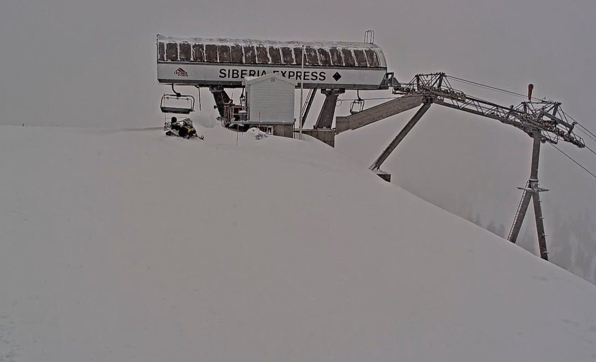
Snowfall Report:
The snow levels stayed just above the base Tuesday into Tuesday evening, with an inch that fell at the base as snow levels dropped early Wednesday morning. The upper mountain picked up 11 inches of new snow, with 1-11 inches in between.
That brings the April total to 81 inches and counting, and the season total to 359 inches and counting. That’s close to 88% of the average for the date. Without March, this was a decent season for snowfall overall. March was very warm and dry, and shrunk the base to smaller than it normally would be with 359+ inches of snow.
Wednesday Snow Showers:
We have a final surge of moisture on Wednesday morning as the center of the low is moving through the region. Then scattered showers into the afternoon, diminishing by the end of the day. Highs in the 30s on the mountain to near 40 degrees down at the base. We could see a final 2-4 inches on the upper mountain, with lighter amounts below that.
Thursday – Friday:
The storm clears with mostly sunny skies expected for Thursday and Friday. Some clouds and a stray shower or two could pop up over the mountains Friday afternoon from daytime heating and moisture starting to work back into the atmosphere over the region. Highs into the 50s for the lower elevations and 40s for the higher elevations.
Weekend Showers:
A weak system is forecast to move through CA over the weekend. Not enough for steady precipitation to move through, but enough moisture for some steady showers to develop each afternoon from daytime heating, and maybe even Saturday night into Sunday morning on some models.
There is cold air at the center of this system as well, and we could see snow levels around 7000 ft. to start that fall near the base by Saturday night into Sunday. Highs drop into the 40s for the lower elevations and 30s for the higher elevations.
Not expecting much accumulation down low, but we could see light accumulations on the upper mountain both days, adding up to a few inches or more for the upper mountain by Sunday night. If you plan to ski this weekend, dress warm as it will feel like winter up on the mountain, along with the snow showers.
Long-Range Outlook:
The long-range models keep troughing over the region through at least the end of April, maybe into the first week of May. The pattern we hoped for all of March and didn’t get, but continue to see for most of April.
That will keep the door open to additional weak systems that could bring in enough moisture for afternoon showers. We could see that for Monday and Tuesday, and additional days through the end of April, and maybe into May. The latest model runs show chances for light precipitation almost every day.
Without a heat wave, and with clouds and snow showers at times, that should keep the melting slower than it could be. We will have to see if that will allow operations to continue beyond the 1st weekend in May.
BA
