Skip to content
Palisades Tahoe Logo Palisades Tahoe Logo Palisades Tahoe Logo
Explore
Main Menu
  • Explore Palisades Tahoe
  • Base to Base Gondola
  • Our New Name
  • Explore Legendary Lifts
  • Palisades Tahoe Blog
  • About Lake Tahoe
Plan Your Visit
Main Menu
  • Tickets & Passes
  • Lodging
  • Lessons & Guides
  • Deals & Packages
  • Rentals & Demos
  • Travel Here
  • Getting Around
Mountain Information
Main Menu
  • Snow and Weather
  • Lift and Grooming Status
  • Webcams
  • Hours of Operation
  • Trail Maps
  • Parking & Road Conditions
  • Snowfall Tracker
Events & Activities
Main Menu
  • Events Calendar
  • Aerial Tram
  • Activities
  • Dining & Apres
  • Shopping
  • Groups, Meetings & Weddings
  • Ski & Snowboard Teams
Winter Lodging Exteriors of the Village at Palisades Tahoe
Book Winter Early

Ikon Pass holders save up to 25% when you book with The Village at Palisades Tahoe this winter.

SAVE ON LODGING
Icon / FlashCreated with Sketch.
View All Offers
  • Weather

Can We Squeeze Out A Couple of Inches?

  • Feb 14, 2022
  • 7:44 am

Monday:

A bit cooler with highs in the 40s Monday with partly-mostly sunny skies and gusty winds. Ridgetop winds from the southwest increase throughout the day and could be up to 100+ mph up top by evening. That should close some upper mountain lifts Monday.

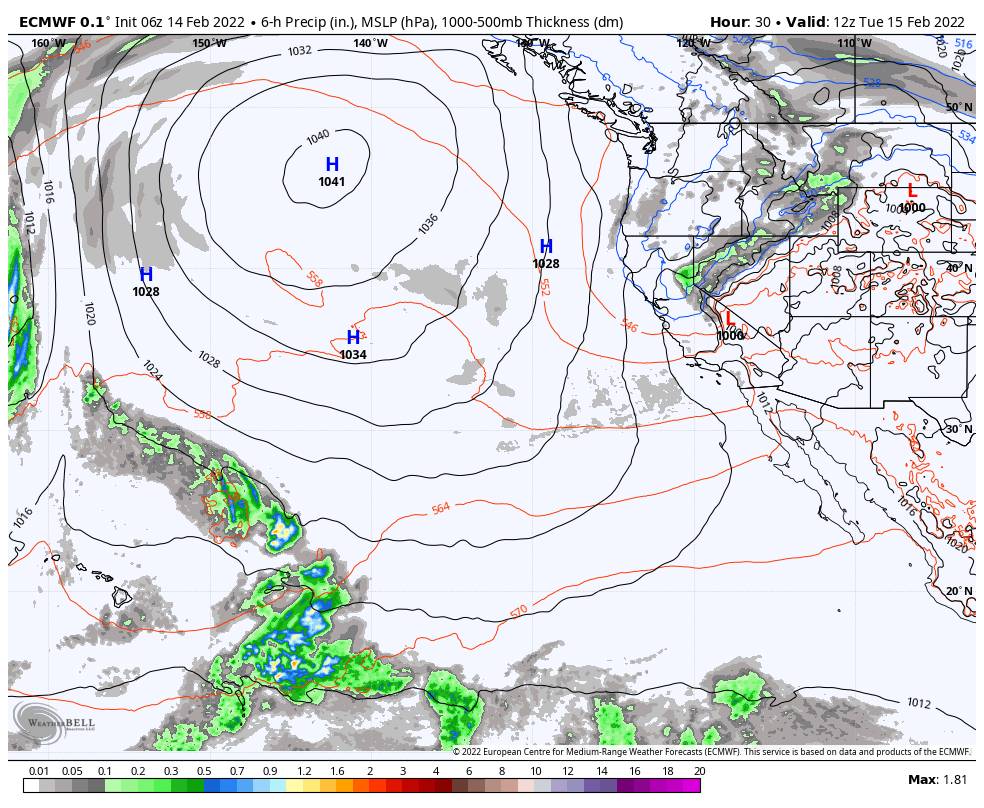
Monday Night – Tuesday System:

A weak system associated with a cold front moves through Monday night into early Tuesday morning. Snow levels could start as low as the base and fall quickly overnight. Snow showers could clear out by Tuesday mid-morning at the latest. Highs only into the 20s up top and 30s at the base Tuesday. 

The most recent model runs suggest 0-2″ at the base and 1-3″ of snow possible for the mountain by Tuesday morning. Gusty north/northeast winds of up to 60+ mph up top Tuesday will make it feel even colder and could affect some upper mountain lifts.

Wednesday – Saturday:

High pressure is forecast to build back over the region again by Wednesday bringing back a drier pattern through Saturday. Highs in the 40s at the base and 30s up top by Wednesday and then warming some through the end of next week.

Wednesday could still have gusty north winds up top gusting up to 60+ mph, then lighter winds starting Thursday.

Long-Range:

The pattern is forecast to shift again by Sunday. That could allow another weak storm to move through Sunday into next Monday the 21st. We will be watching that system all week to see if it could bring more snow and how much, but the amounts look light right now.

The more active pattern could continue through the end of the month. No BIG storms on the horizon yet. Stay tuned for updates as we get closer.

BA

lake tahoe weather palisades tahoe weather forecast snowfall forecast
Bryan Allegretto
Bryan Allegretto

Share this article:

Recent Posts

  • Weather ·
  • September 19, 2023·
The predicted El Nino pattern for this winter

2023-24 Palisades Tahoe Winter Forecast Preview…

As we look ahead to the 2023-2024 winter season, it's important to remember that any winter outlook will contain an inherent degree of uncertainty. However, there are a few clues that we can keep an eye on.
Read more
  • Weather ·
  • May 8, 2023·

Final Forecast of the 2022-23 Season

First Week of May Snowfall Report: The first week of May was a cold and snowy one. The upper mountain…
Read more
  • Weather ·
  • May 1, 2023·

Snowy First Week of May

Monday – Friday Snow Shower Chances: A low-pressure system will be making its way south down the coast on Monday…
Read more

Social

Instagram Twitter Facebook Youtube

Contact

   Email Us
   1.800.403.0206

Our Partners

U.S. Forest Service Logo
1960 Olympic Valley Road
Olympic Valley, CA 96146

©2022 Palisades Tahoe

Alterra Mountain Company
  • Privacy Policy
  • Terms of Service
  • Photo Upload Terms of Use
  • Accessibility
  • Do Not Sell My Personal Information
  • Privacy Policy
  • Terms of Service
  • Photo Upload Terms of Use
  • Accessibility
  • Do Not Sell My Personal Information