Skip to content
palisades tahoe
Explore
Main Menu
  • Explore Palisades Tahoe
  • Discover Palisades Tahoe
  • Our Name Change
  • Explore Legendary Lifts
  • Palisades Tahoe Blog
  • About Lake Tahoe
  • Mountain Safety
Plan Your Visit
Main Menu
  • Lodging
  • Tickets & Passes
  • Lessons & Guides
  • Deals & Packages
  • Rentals & Demos
  • Travel Here
  • Ikon Pass Benefits
Mountain Information
Main Menu
  • Weather
  • Lift Status
  • Webcams
  • Hours of Operation
  • Trail Maps
  • Parking & Road Conditions
  • Snowfall Tracker
Events & Activities
Main Menu
  • Aerial Tram
  • Events Calendar
  • Activities
  • Dining & Apres
  • Shopping
  • Groups, Meetings & Weddings
  • Ski & Snowboard Teams
Summer High Camp Tram with wildflowers.
Basecamp for Lake Tahoe
Palisades Tahoe is the beating heart of Lake Tahoe adventure. Plan your trip with us today.
PLAN YOUR VISIT
Icon / FlashCreated with Sketch.
View All Offers

Breezy & Cold Saturday, Dry & Milder thru Friday

  • By Bryan Allegretto
  • Weather
  • Feb 27, 2021

The Weekend:

Saturday we will see mostly sunny skies with colder air in place. Highs in the 30s. Winds turning northerly and gusting 40-50+ mph up top during the afternoon.

Mostly sunny skies again for Sunday with highs warming back into the 40s at the base and 30s on the upper mountain. Lighter east winds.

Monday – Friday:

The next system approaching the West Coast is going to split with a closed low forming and dropping south off of the CA coast Monday-Wednesday missing us. That will keep us dry through Friday. We should see mostly sunny skies throughout the week. Highs warming into the 40s on the upper mountain and near 50 degrees at the base by midweek.
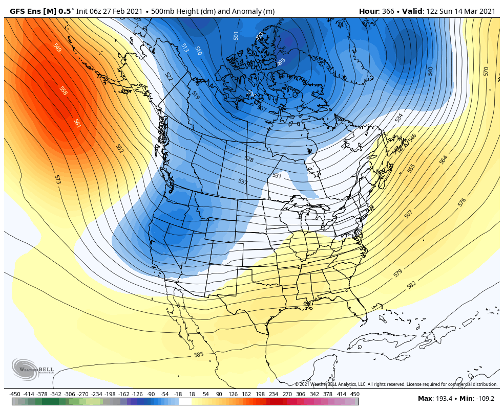
Long-Range:

The pattern is still expected to start shifting next weekend. We could see a system move into CA with rain & snow Saturday and possibly linger into next Sunday. Right now there is uncertainty on the track and if this system will just be weak with a few showers, or if it could bring some heavier rain/snow. We will be tracking it all week with updated details as they become clearer.

The long-range models suggest the more active pattern could continue through the 2nd week of March. We may continue to see weak/moderate strength systems moving into the West Coast.

BA

Share this article
Picture of Bryan Allegretto
Bryan Allegretto

Recent Posts

  • Weather ·
  • December 7, 2025·

Base Area Snowmaking

We have a little good news on Sunday morning as some colder air has settled into some of the lower…
Read more
  • Weather ·
  • December 5, 2025·

Waiting for a Change

Week 1: The storm track is shifting farther south into the Pacific NW this weekend and beyond, and we could…
Read more
  • Weather ·
  • December 4, 2025·

Milder Pattern Ahead

We have another cold morning here on Thursday. We have slight inversions, but most temperatures are still in the 20s…
Read more

Social

Instagram Twitter Facebook Youtube

Contact

   Email Us
   1.800.403.0206

Our Partners

U.S. Forest Service Logo
1960 Olympic Valley Road
Olympic Valley, CA 96146

©2025 Palisades Tahoe

Alterra Mountain Company
  • Privacy Policy
  • Terms of Service
  • Photo Upload Terms of Use
  • Accessibility
  • Do Not Sell My Personal Information
  • Privacy Policy
  • Terms of Service
  • Photo Upload Terms of Use
  • Accessibility
  • Do Not Sell My Personal Information