

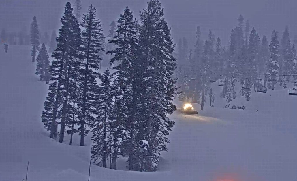
Snowfall Report:
An additional 9 inches of snow fell on the upper mountain from the snow showers Thursday and Thursday night. That brings the final storm total for the 2-day storm to 29 inches at the base and 34 inches up top!
Friday Storm:
The next storm is moving in Friday morning and will bring us snow showers into Friday night before clearing out by Saturday morning. The steadiest snow is expected during the day on Friday with scattered showers Friday night. Highs warming into the 30s for the lower elevations and 20s up top. Ridgetop winds from the west gusting up to 50-70+ mph.
The snow levels are below 3000 ft. Friday morning and will rise up to around 4500-5000 ft. by midday, and then falling back below 4000 ft. Friday night. That is well below the base. Snow ratios averaging around 15-19:1 above 7000 ft.
By Saturday morning we could see an additional 4-8 inches at the base, 5-10 inches near mid-mountain, and 7-12 inches up top.
Weekend Weather:
Partly sunny for the weekend with storms continuing to move through to our north. That will bring us some clouds and breezy/gusty winds.
Highs into the 30s on Saturday and then 40s for the lower elevations on Sunday. Ridgetop winds gusting up to 30-50+ mph from the west on Saturday, and then 80-100+ mph on Sunday ahead of the next storm! Expect quite a few lift closures on Sunday.
Sunday Night – Monday Storm:
A few forecast models have snow showers reaching the mountain by late afternoon on Sunday, but most hold off until the evening hours. Sunday night into Monday morning the front pushes south through the Sierra bringing a period of heavier precipitation, and then snow showers behind the front for Monday afternoon.
Scattered snow showers should clear out Monday evening. The bullseye of heaviest precipitation is expected to be somewhere near the Tahoe Basin. The snow levels start high, up around 6500-7000 ft. Sunday evening with some rain at the base. Then falling to around 5500-6000 ft. (below the base) by early Monday morning, and continuing to fall during the day.
Highs in the 30s with winds coming down through the day on Monday. Ridgetop gusts up to 30-50+ mph. As the snow gets colder and drier into Monday and the winds come down it should be a pretty fun day for skiing. Additional snowfall from this storm could be around 6-11 inches near the base, 14-19 inches near mid-mountain, and 18-24 inches up top.
Tuesday – Wednesday Weather:
Mostly sunny skies are expected for both days with highs in the 30s for Tuesday and 40s for Wednesday for the lower elevations.
Brush By Storms:
The long-range models continue to show two storms brushing us on their southern edge as they move through to our north Wednesday night into Thursday and again Friday night into next Saturday the 22nd.
We may only see light amounts of precipitation with each system and higher snow levels. The European model shows little precipitation in total for both storms. The GFS model shows a bit more, but with marginal or higher snow levels, we will likely not see much snow. We’ll continue to watch the trends.
Long-Range Forecast:
By Sunday the 23rd we are still expecting high pressure to build in over the West Coast, and possibly last through the 26th (ish).
By the last few days of the month, there is better model agreement that we could see lower heights over the West Coast with the chance for a storm or two to move through.
We’ll continue to watch the trends on this as well to see if we can pick up any more snow before we move into April…
BA
