

Mild through Wednesday:
High pressure is over the region and will continue into Wednesday. We will have clear skies and sunny days with mild temperatures. Highs are in the 60s for the lower elevations and 50s for the higher elevations.
Increasing clouds with Gusty winds Wednesday afternoon as the next storm approaches. We could see a few scattered showers reach the crest by the end of the day with ridgetop winds gusting up to 30-50+ mph from the SW.
Wednesday Night – Friday Night Showers:
A large low-pressure system slowly approaches the West Coast and directs moisture into the Pacific NW Wednesday night through Friday night. We will be on the southern edge with rain & snow showers into the northern and central Sierra.
Highs drop into the 40s for the lower elevations on Thursday and 30s for the higher elevations, with ridgetop winds gusting up to 70-90+ mph from the SW. That will likely close some upper mountain lifts. Then lighter winds for Friday, with highs only in the 30s.
The snow levels start around 9500 – 10,500 ft. Wednesday evening and only fall to around 8000-9000 ft. by Thursday morning, 6300-7300 ft. by Thursday evening, dipping to around 5000-6000 ft. Thursday night, back up to 5800-6800 ft. Friday, and 4000-5000 ft. Friday night as the showers diminish and clear Saturday morning.
The best shot at some steadier showers looks to be during the day on Thursday and then Friday into Friday evening. By Saturday morning, we could see storm totals of 1-3 inches at the base and 3-7 inches up top. A reminder that this is spread out over 2.5 days, and it will melt in the lower elevations during the day.
Saturday Weather:
There will be a break between storms for Saturday with mostly sunny skies and highs into the 40s for the lower elevations with 30s for the higher elevations above 8000 ft.
Sunday Storm:
Some changes with the forecast for the Sunday storm as the European models on the latest 06z run weakens the storm so much that it’s now completely dry with just some clouds and gusty winds for Sunday. The GFS model is weaker but still brings precipitation.
Some of the other forecast models are still wetter and show a chance for several inches of snow, but I’m very cautious at this point with the European model going dry. We’ll continue to watch the trends, with my initial snowfall forecast coming out Wednesday morning.
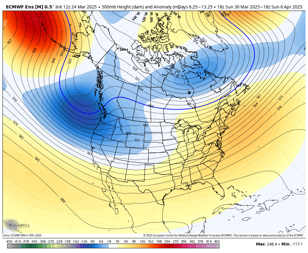
Active Pattern Continues:
The trough is forecast to stay over/near the West Coast through the 5th – 6th, keeping the storm door open. The next storm is forecast to move through next Tuesday – Wednesday, the first two days of April.
This storm continues to look like the strongest and wettest storm of the week. We’ll be watching it closely to see if it could bring us significant snowfall, especially for April. Additional weaker systems are possible through the 5th- 6th.
Long-Range Forecast:
The long-range models suggest that high pressure builds in over the West Coast between the 6th-8th of April, bringing a break in the storms.
Beyond the 8th, it’s possible that the next upstream trough in the northeast Pacific swings into the West Coast, bringing back the chance for weak storms and showers.
BA
