Skip to content
Palisades Tahoe Logo Palisades Tahoe Logo Palisades Tahoe Logo
Explore
Main Menu
  • Explore Palisades Tahoe
  • Base to Base Gondola
  • Our New Name
  • Explore Legendary Lifts
  • Palisades Tahoe Blog
  • About Lake Tahoe
  • About Us
Plan Your Visit
Main Menu
  • Tickets & Passes
  • Lodging
  • Lessons & Guides
  • Deals & Packages
  • Rentals & Demos
  • Travel Here
  • Getting Around
Mountain Information
Main Menu
  • Snow and Weather
  • Lift and Grooming Status
  • Webcams
  • Hours of Operation
  • Trail Maps
  • Parking & Road Conditions
  • Snowfall Tracker
Events & Activities
Main Menu
  • Events Calendar
  • Activities
  • Dining & Apres
  • Shopping
  • Things To Do In Lake Tahoe
  • Groups, Meetings & Weddings
  • Ski & Snowboard Teams
IKON PASS HOLDER LODGING DISCOUNT

Ikon Pass holders save up to 20% on slopeside lodging at The Village at Palisades Tahoe.

SLOPESIDE LODGING
Icon / FlashCreated with Sketch.
View All Offers
  • Weather

A More Active Pattern Starting This Weekend

  • Mar 1, 2021
  • 8:40 am

Tuesday – Friday:

The next system approaching the West Coast is going to split with a closed low forming and dropping south off of the CA coast Tuesday-Wednesday missing us. We should stay dry through Friday. Clouds with some peeks of sun Tuesday & Wednesday, then mostly sunny Thu-Fri. Highs warming into the 40s on the upper mountain and near 50 degrees at the base.

Ridgetop winds should be lighter Tuesday-Thursday. They could pick up a little later Thursday. Then we could see gusty winds Friday as the next system approaches, with ridgetop winds from the south gusting up to 60+ mph.

The Weekend:

Friday night into Saturday we could see the 1st system move into California and the Sierra. We may see light snow by early Saturday morning with snow showers into the day on Saturday. Then clearing by Saturday night. Highs dropping into the 30s on the mountain to near 40 degrees at the base. We could see 1-3 inches of fresh snow at the base and 2-4 inches on the mountain by Saturday afternoon.

We will continue to track this system all week and will fine-tune the potential snowfall. Overall the system looks pretty weak right now. Sunday we should see mostly sunny skies with highs in the 30s on the upper mountain and 40s at the base.

Long-Range:

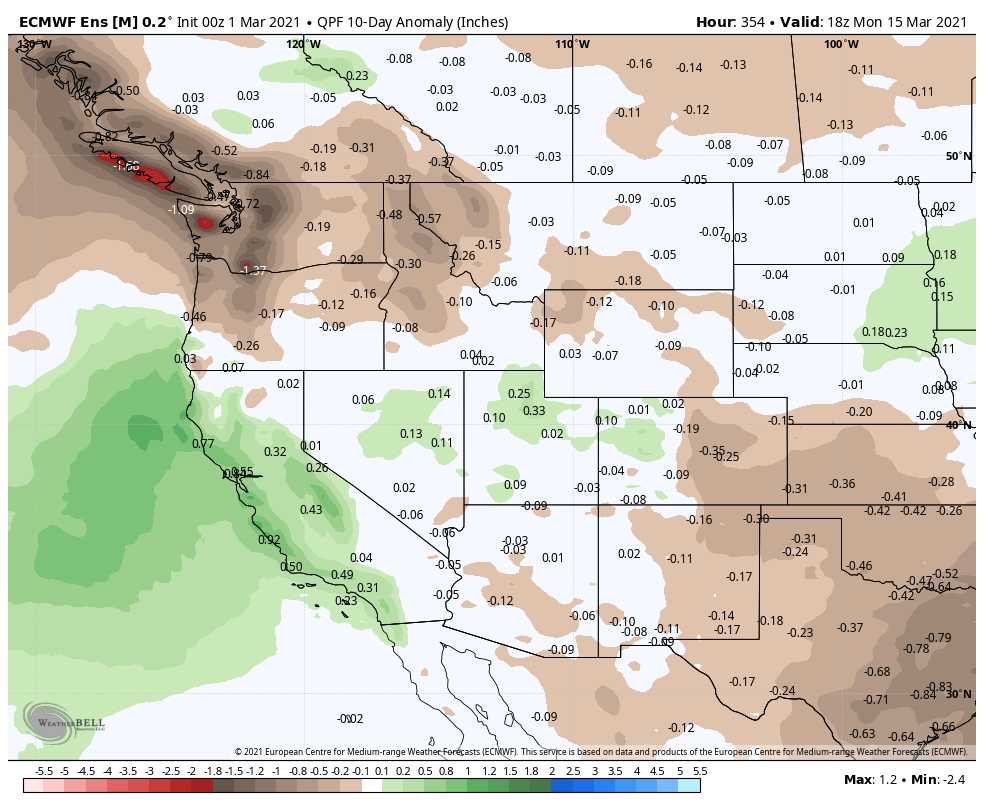
The active pattern may continue through mid-month. The next system may move slowly down the CA early next week. That could bring a couple of days of snow if it tracks close enough to the CA coast. We will be watching this system all week and will try to get a better idea of timing and snowfall as we get closer.

Additional systems may continue to drop south into CA through mid-month. We may be heading into a cooler and more active pattern for at least 10 days starting this weekend.

BA

lake tahoe weather snowfall forecast Squaw Weather Forecast
Bryan Allegretto
Bryan Allegretto

Share this article:

Recent Posts

  • Weather ·
  • March 21, 2023·

Weak Systems & Snow Showers thru Sunday

Tuesday Storm: The next storm pushes snow showers back in by later Tuesday morning, with steadier snow through Tuesday afternoon.…
Read more
  • Weather ·
  • March 20, 2023·

More Weak Systems Tuesday-Friday

Snowfall Reports: No real surprises with the weak storm that moved through on Sunday. We were expecting 3-11 inches from…
Read more
  • Weather ·
  • March 19, 2023·

Two More Storms Sun & Tue

Sunday Storm: Snow showers are moving in Sunday morning, and will continue through the day before becoming more scattered Sunday…
Read more

Social

Instagram Twitter Facebook Youtube

Contact

   Email Us
   1.800.403.0206

Our Partners

U.S. Forest Service Logo
1960 Olympic Valley Road
Olympic Valley, CA 96146

©2022 Palisades Tahoe

Alterra Mountain Company
  • Privacy Policy
  • Terms of Service
  • Photo Upload Terms of Use
  • Accessibility
  • Do Not Sell My Personal Information
  • Privacy Policy
  • Terms of Service
  • Photo Upload Terms of Use
  • Accessibility
  • Do Not Sell My Personal Information