Thursday – Monday:
Mostly sunny skies are expected each day through Monday. Highs in the 30s on the mountain and possibly near 40 degrees at the base over the weekend. The winds will be breezy up top from the northeast Thursday, but should stay fairly light through Monday.
Tuesday – Wednesday:
The forecast models had been split as to whether the next storm will track far enough south Tuesday into Wednesday to bring some precipitation to the northern Sierra. The majority of the models are now trending towards the drier scenario.
We could see gusty winds and some clouds by Tuesday into Wednesday. If we do see any showers the snow levels could be above 7000 ft. We’ll continue to fine-tune the forecast as we get closer.
Long-Range:
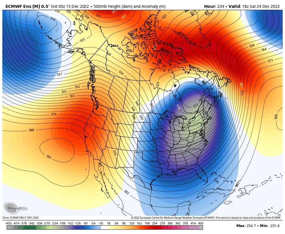
The long-range models continue to show high-pressure building in stronger over CA next Thursday the 22nd through the end of December. That would bring some milder temperatures. The storm track could become quite active to our north into the Pacific NW.
The storms may stay to our north through the period keeping us dry or fairly dry. There is a chance that a storm or two could dig just far enough south to bring some rain & snow to the northern Sierra. We’ll keep an eye on the trends and will let you know when we see the next chance for snow.
BA
P.S. These forecasts could shift to every other day if we go into a prolonged dry pattern, and will pick back up to daily once we have storms back into the 5-7 day forecast window.


