Skip to content
palisades tahoe
Explore
Main Menu
  • Explore Palisades Tahoe
  • Discover Palisades Tahoe
  • Our Name Change
  • Explore Legendary Lifts
  • Palisades Tahoe Blog
  • About Lake Tahoe
  • Mountain Safety
Plan Your Visit
Main Menu
  • Lodging
  • Tickets & Passes
  • Lessons & Guides
  • Deals & Packages
  • Rentals & Demos
  • Travel Here
  • Ikon Pass Benefits
Mountain Information
Main Menu
  • Weather
  • Lift Status
  • Webcams
  • Hours of Operation
  • Trail Maps
  • Parking & Road Conditions
  • Snowfall Tracker
Events & Activities
Main Menu
  • Aerial Tram
  • Events Calendar
  • Activities
  • Dining & Apres
  • Shopping
  • Groups, Meetings & Weddings
  • Ski & Snowboard Teams
Summer High Camp Tram with wildflowers.
Basecamp for Lake Tahoe
Palisades Tahoe is the beating heart of Lake Tahoe adventure. Plan your trip with us today.
PLAN YOUR VISIT
Icon / FlashCreated with Sketch.
View All Offers

A Drier Pattern This Week

  • By Bryan Allegretto
  • Weather
  • Feb 21, 2021

Sunday – Thursday:

For Sunday, we will have mostly sunny skies and lighter winds, with highs warming into the 40s for the lower mountain and 30s up top.

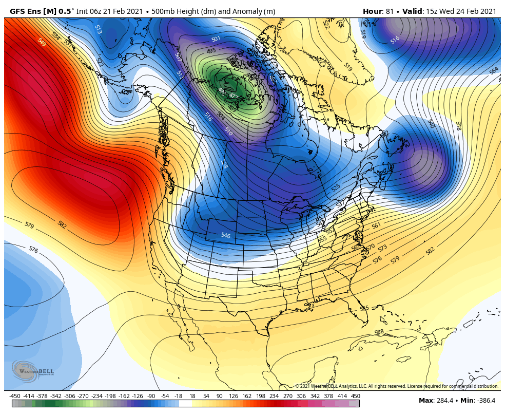
The dry weather pattern continues through Thursday with mostly sunny skies expected. Highs in the 40s Monday to near 50 degrees at the base. Highs in the 40s Tuesday with ridgetop winds picking up. Gusts front eh north/northwest of 40-50+ mph

A little colder behind a dry cold front Wednesday with highs dropping into the 30s on the mountain and low 40s at the base. Gusty north/northeast winds Wednesday up to 60-70+ mph. Then warming back into the 40s Thursday.

Long-Range:

We may remain in the drier pattern through next weekend but with more shots of cold air. We could see another dry cold front move through Friday and Saturday. It is possible that the Saturday front pulls in some moisture with some snow showers possible. We will keep an eye on that all week.

We may transition to a more active pattern the first week of March per the latest forecast model guidance. But not much confidence in that this far out. We will let you know as soon as storms could return!

BA

Share this article
Picture of Bryan Allegretto
Bryan Allegretto

Recent Posts

  • Weather ·
  • April 30, 2025·

Weekend Snow Showers Possible

There is a chance for high elevation snow showers for the first weekend of May. The mountain is aiming to…
Read more
  • Weather ·
  • April 28, 2025·

11 Inch Weekend Snowfall Total!

Snowfall Report: The weekend storm brought snow down to the base as we expected. We saw several inches accumulate on…
Read more
  • Weather ·
  • April 24, 2025·

Winter’s Quick Return

All of the focus this week is on winter’s last gasps over the weekend, as snow showers and low snow…
Read more

Social

Instagram Twitter Facebook Youtube

Contact

   Email Us
   1.800.403.0206

Our Partners

U.S. Forest Service Logo
1960 Olympic Valley Road
Olympic Valley, CA 96146

©2025 Palisades Tahoe

Alterra Mountain Company
  • Privacy Policy
  • Terms of Service
  • Photo Upload Terms of Use
  • Accessibility
  • Do Not Sell My Personal Information
  • Privacy Policy
  • Terms of Service
  • Photo Upload Terms of Use
  • Accessibility
  • Do Not Sell My Personal Information