Snowfall Report:
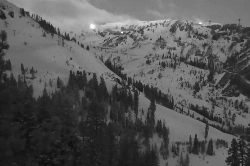
We were expecting 1-3″ on the lower mountain to the base, and 2-5″ on the upper mountain from the storm that moved through on Saturday. The mountain picked up a coating of snow at the base, 4 inches at Alpine Lodge, and 5 inches on the upper mountain. So no surprises from this storm and a nice refresh of the slopes.
Sunday Sun & Wind:
The sun returns Sunday but chilly with highs in the 30s up top and 40s at the base. The winds turn north-northeast and could crank back up with gusts up to 60-70+ mph up top by midday. That could affect some upper mountain lift operations, and the winds will make it feel colder than the air temperatures. The winds should come down some through the afternoon.
Monday – Saturday:
High pressure builds in through the end of the week and lasts until Saturday. We should see mostly sunny days and mild temperatures. Highs into the 40s up top and 50s at the base Monday – Tuesday, and then into the 50s & 60s by Wednesday through the end of the week.
Breezy north-northeast winds are possible up top Monday with gusts up to 50+ mph. Then we should see lighter winds starting Tuesday.
Long-Range:
The ridge begins to break down by next Sunday the 27th, with a trough digging into the West Coast. That could open the door to another storm moving in with colder air and more rain & snow between Sunday the 27th – Monday 28th. We’ll be tracking that all week with more details as we get closer.
The pattern could remain unsettled through the end of the month into early April. We could get a decent storm, but this time of the year as we go into April any storms are usually on the weaker side.
BA


