Snowfall Report:
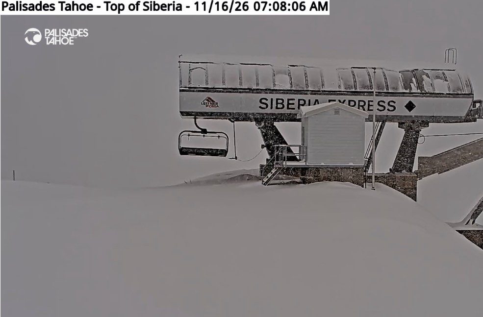
Mountain Ops is reporting 10″ of new snow on the upper mountain as of 8 AM Monday morning, and the snow has continued to fall since then.
Monday Storm:
The front that is bringing a band of snow through the northern Sierra Monday morning will continue to slowly move through during the day. It will spread snow farther south and then clear from NW to SE later in the day. Highs in the 30s. We could see an additional 3-6 inches of snow by the end of the day on Monday.
Tuesday Weather:
Mostly sunny skies for Tuesday and cold with highs in the 30s. Overnight lows in the 20s on the mountain will allow for snowmaking on top of the natural snow that’s falling. You couldn’t ask for a better setup this time of year.
Wednesday – Thursday Storm:
The next storm has been well advertised as the biggest storm of the week, which could bring feet of snow to the northern Sierra. The latest model runs show the front moving through on Wednesday, with snow starting Wednesday morning, and then the center of the low moving through the central Sierra on Thursday.
The latest model runs track the center of the low-pressure system far enough north for the Tahoe basin to continue to get snow on Thursday into Thursday evening, but we’ll have to hope that track or farther north holds. If the system dips a bit farther south, we could miss out on the 2nd round of snow on Thursday.
The winds will be gusty on Wednesday, with gusts up to 70-80+ mph from the SW over the ridges. Highs near freezing near the base, and 20s on the mountain. Then lighter winds and still cold for Thursday.
The snow levels will be low with this storm, sitting up to a couple thousand feet below the base for most of the storm. That means all snow and high snow-to-liquid ratios on the mountain, which will fluff the snowfall totals from the already high precipitation amounts.
By Friday morning, we could see new snowfall totals from this storm of up to 20-30 inches near the base, and 30-40 inches on the mountain. Again, if the low tracks farther south on Thursday, we may need to reduce the snowfall forecast farther north around Tahoe.
The Weekend:
Friday, the storm clears with mostly sunny skies. Highs in the 30s for the lower elevations and 20s for the higher elevations. Saturday could be partly sunny with increasing clouds and winds during the day. Ridgetop gusts from the SW up to 50-60+ mph.
A weakening front could bring some snow showers to the northern Sierra later in the day on Saturday into Saturday evening. Sunday could be partly sunny with lighter winds and a few additional snow showers. We’ll continue to watch this system to see if it could bring more than just a few inches of fresh snow.
Long-Range Outlook:
The long-range models continue to show the eastern Pacific trough just close enough to the West Coast next week for storms to continue to push into the northern Sierra.
Some of the operational models show the storms weakening quite a bit before they reach us, with others showing them holding together better. The ensemble mean models still show a wet pattern continuing next week.
We’ll continue to watch the trends and dial into specific storms as they get closer.
BA