Skip to content
Palisades Tahoe Logo Palisades Tahoe Logo Palisades Tahoe Logo
Explore
Main Menu
  • Explore Palisades Tahoe
  • Base to Base Gondola
  • Our New Name
  • Explore Legendary Lifts
  • Palisades Tahoe Blog
  • About Lake Tahoe
Plan Your Visit
Main Menu
  • Tickets & Passes
  • Lodging
  • Lessons & Guides
  • Deals & Packages
  • Rentals & Demos
  • Travel Here
  • Getting Around
Mountain Information
Main Menu
  • Snow and Weather
  • Lift and Grooming Status
  • Webcams
  • Hours of Operation
  • Trail Maps
  • Parking & Road Conditions
  • Snowfall Tracker
Events & Activities
Main Menu
  • Events Calendar
  • Aerial Tram
  • Activities
  • Dining & Apres
  • Shopping
  • Groups, Meetings & Weddings
  • Ski & Snowboard Teams
Winter Lodging Exteriors of the Village at Palisades Tahoe
Book Winter Early

Ikon Pass holders save up to 25% when you book with The Village at Palisades Tahoe this winter.

SAVE ON LODGING
Icon / FlashCreated with Sketch.
View All Offers

A Cold & Drier Pattern

  • By Bryan Allegretto
  • Weather
  • Dec 13, 2022

Tuesday – Monday:

After 7-9 feet of snow fell on the mountain so far in December, we have great conditions and a deep base to start the season! We will now head into a drier pattern for the next 7 days but it should stay fairly cold for now.

Mostly sunny skies are expected each day through Monday the 19th. Highs in the 20s up top and 30s at the base. The winds should stay fairly light through the period.

Next Tue – Wed System:

The next chance for some snow looks to be next Tuesday into Wednesday the 21st. The forecast models don’t agree on whether or not this system pushes far enough south to reach the northern Sierra. We’ll fine-tune the forecast as we get closer.

Long-Range:

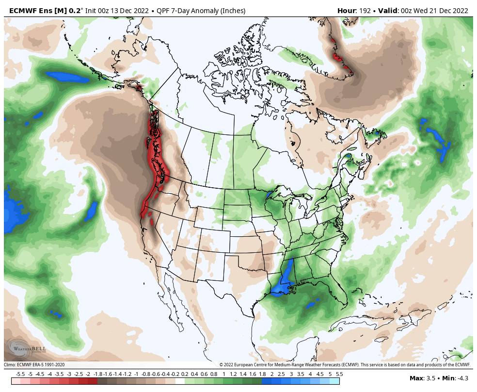
The long-range models suggest that high pressure could build in over CA through the end of December. That could bring some warmer temperatures the last week of the month. The storm track could become quite active to our north into the Pacific NW.

The storms could stay to our north or a storm or two could dig just far enough south to bring some snow to the northern Sierra. Confidence is low right now in any storms reaching Tahoe in the long range, but we’ll continue to watch the trends and I’ll let you know when storms will return.

BA

Share this article
lake tahoe weather palisades tahoe weather forecast snowfall forecast
Bryan Allegretto
Bryan Allegretto

Recent Posts

  • Weather ·
  • December 8, 2023·

A Drier Pattern, Possible Storm Next Weekend

Drier Pattern Ahead: We have a cold morning Friday with temperatures in the 20s and teens which is good news…
Read more
  • Weather ·
  • December 7, 2023·

5-15 Inches of New Snow!

Snowfall Report: The wetter model forecasts were right as we saw over an inch of liquid fall on over the…
Read more
  • Weather ·
  • December 6, 2023·

Snow Later Wednesday into Thursday

Windy Wednesday: We will start the day with mostly sunny skies and gusty winds with ridgetop gusts up to 60-70+…
Read more

Social

Instagram Twitter Facebook Youtube

Contact

   Email Us
   1.800.403.0206

Our Partners

U.S. Forest Service Logo
1960 Olympic Valley Road
Olympic Valley, CA 96146

©2022 Palisades Tahoe

Alterra Mountain Company
  • Privacy Policy
  • Terms of Service
  • Photo Upload Terms of Use
  • Accessibility
  • Do Not Sell My Personal Information
  • Privacy Policy
  • Terms of Service
  • Photo Upload Terms of Use
  • Accessibility
  • Do Not Sell My Personal Information