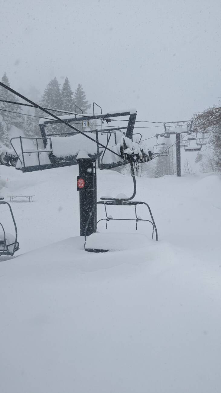
Skip to content
Palisades Tahoe Logo Palisades Tahoe Logo Palisades Tahoe Logo
Explore
Main Menu
  • Explore Palisades Tahoe
  • Base to Base Gondola
  • Our New Name
  • Explore Legendary Lifts
  • Palisades Tahoe Blog
  • About Lake Tahoe
  • About Us
Plan Your Visit
Main Menu
  • Tickets & Passes
  • Lodging
  • Lessons & Guides
  • Deals & Packages
  • Rentals & Demos
  • Travel Here
  • Getting Around
Mountain Information
Main Menu
  • Snow and Weather
  • Lift and Grooming Status
  • Webcams
  • Hours of Operation
  • Trail Maps
  • Parking & Road Conditions
  • Snowfall Tracker
Events & Activities
Main Menu
  • Events Calendar
  • Activities
  • Dining & Apres
  • Shopping
  • Things To Do In Lake Tahoe
  • Groups, Meetings & Weddings
  • Ski & Snowboard Teams
IKON PASS HOLDER LODGING DISCOUNT

Ikon Pass holders save up to 20% on slopeside lodging at The Village at Palisades Tahoe.

SLOPESIDE LODGING
Icon / FlashCreated with Sketch.
View All Offers
  • Weather

8-Day Totals of 12 Feet!

  • Mar 1, 2023
  • 8:37 am

Snowfall Report:

Another 2-3+ feet of snowfall in the 24 hours as of 5 AM Wednesday, doubling the amounts from the previous 24 hours for a 2-day total of 76 inches on the upper mountain! That brings the 8-day storm total to an incredible 146 inches or 12+ feet, and the season total to 539 inches so far!

Wednesday Clearing:

It’s a cold day again on Wednesday as we start to clear out after the high 8-day storm cycle. Highs only in the 20s. We’ll have some sun and clouds along with some scattered snow showers. Ridgetop winds from the northeast gusting up to 40-50+ mph making it feel even colder.

Thursday – Friday:

We will see a break in the active pattern from Thursday into Friday, with mostly sunny skies and highs into the 30s along with lighter winds. We maybe hit 40 degrees in the village Thursday. It should be beautiful!

Weekend Snow:

Another cold trough digs into the West Coast Saturday into next week. That will reopen the door to more cold storms Saturday into early next week.

We may see light snow showers move in by early Saturday morning with heavier snow possible by afternoon and into Sunday. We also expect ridgetop winds to increase to 80-90+ mph Saturday which will likely close some lifts. Winds could be strong Sunday morning and come down through the afternoon. Highs drop back down into the 20s for the weekend.

Here is the updated snowfall forecast for the weekend, with the expected snowfall totals by early Monday morning.

  • 22-30 inches at the base.
  • 28-35 inches at mid-mountain elevations.
  • 32-40 inches up top.

Monday – Tuesday:

Additional weaker waves could continue the snow showers Monday and Tuesday with temperatures remaining in the 20s for highs. We could see several more inches of snow on both days.

Long-Range:

We could see a brief break between storms next Wednesday the 8th into Thursday the 9th. We’ll watch the trends.

Then we could transition from a cold/wet pattern to a not-as-cold wet pattern starting around the 10th and continuing through mid-March. We’re watching for the possibility of a strengthening Pacific jet stream streaming across the Pacific into CA during this period, sending storms into CA with fluctuating snow levels.

We’ll continue to watch the trends with more details as we get closer.

BA

lake tahoe weather palisades tahoe weather forecast snowfall forecast
Bryan Allegretto
Bryan Allegretto

Share this article:

Recent Posts

  • Weather ·
  • March 24, 2023·

Drier w/ Spotty Snow Showers thru Sunday

Snowfall Report: 3-5 inches of new snow fell on the mountain, from the base to the upper mountain, in the…
Read more
  • Weather ·
  • March 23, 2023·

Snow Thursday, Drier for the Weekend

Snowfall Report: An additional 2 inches of snow fell on the mountain in the past 24 hours as of 5…
Read more
  • Weather ·
  • March 22, 2023·

Scattered Snow Showers Continue

Snowfall Report: We were expecting 1-4 inches to fall Tuesday-Tuesday night. We picked up the lower end of the forecast…
Read more

Social

Instagram Twitter Facebook Youtube

Contact

   Email Us
   1.800.403.0206

Our Partners

U.S. Forest Service Logo
1960 Olympic Valley Road
Olympic Valley, CA 96146

©2022 Palisades Tahoe

Alterra Mountain Company
  • Privacy Policy
  • Terms of Service
  • Photo Upload Terms of Use
  • Accessibility
  • Do Not Sell My Personal Information
  • Privacy Policy
  • Terms of Service
  • Photo Upload Terms of Use
  • Accessibility
  • Do Not Sell My Personal Information