

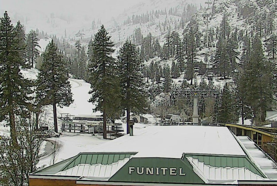
Snowfall Report:
A coating of snow fell at the base as snow levels dropped early Saturday morning, with 7 inches of new snow being reported on the upper mountain as of 6 AM Saturday morning.
Saturday – Sunday Storms:
We are seeing a lull in the rain and snow showers for most areas Saturday morning, with some snow showers moving through at times. Temperatures are above freezing at the base with freezing levels around 7000 ft. The next storm is spinning off the coast and slowly approaching.
Showers will increase as we get closer to Saturday evening and the next storm begins to move inland. Snow levels will rise back up to around 7000-7500 ft. during the day. Highs near 40 degrees at the base and 30s on the mountain. Ridgetop winds increasing from the SW with gusts up to 50-60+ mph by late afternoon.
Heavy snow moves in Saturday night with steady snow showers continuing into Sunday as the low moves through, with scattered snow showers possibly lingering into Sunday night. The latest model runs show up to an additional 2+ inches of precipitation falling over the mountain from Saturday morning through Sunday night!
Snow levels crash down to around 4000 ft. Saturday night, and then should be around 5000-5500 ft. on Sunday, which is well below the base. Highs in the 30s for the lower elevations and 20s for the higher elevations. Ridgetop winds could continue to gust up to 50-60+ mph through the day, which could affect some upper mountain lifts from Saturday afternoon through Sunday.
The colder temperatures moving in Saturday night will increase snow ratios and bring fluffier snow to the upper mountain for Sunday. So hopefully the winds aren’t too strong to access the fresh powder, which will continue to fall during the day on Sunday as well.
The latest forecasts would drop an additional 12-18 inches at the base, and 18-24+ inches on the mountain by Sunday night.
Monday – Thursday Weather:
Clearing Monday with mostly sunny skies through Wednesday, but staying cool with highs in the 40s for the lower elevations and 30s for the higher elevations.
We still have a chance to be brushed by some showers on Thursday. But it looks like nothing impressive, just some light rain and high elevation snow showers if the system digs far enough south.
Long-Range Outlook:
The latest trend on the long-range models is for weak high pressure to build in over the region next weekend. That could bring mostly sunny skies with slightly milder temperatures, with highs into the 50s for the lower elevations.
Additional troughs are forecast to swing through the West through the end of April. We will likely see typical late April weather with shots of cooler air and showers at times, and then times of drier weather and nice spring temperatures.
As of right now, no significant storms are in the forecast beyond this weekend. We’ll keep an eye on that through the end of the month.
BA
