

Snowfall Report:
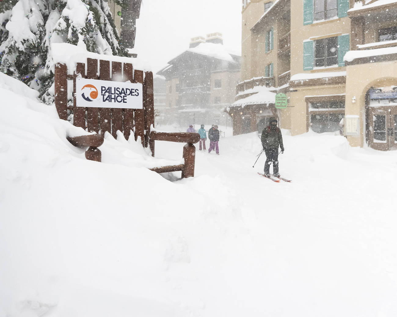
We were expecting 24-hour snowfall of 23-39 inches of additional snowfall by Sunday morning. We picked up 18 inches at the base and 26 inches on the upper mountain. That brings the 5-day storm total to 74 inches (6+ feet) so far, and more to come through Monday!
Unfortunately, all of that snow and high winds have caused the mountain to close for the day Sunday. Many of the area highways are closed as well.
Sunday:
We could see another lull Sunday morning with lighter or scattered snow showers. Then things pick back up Sunday afternoon with heavy snow expected again Sunday night. Cold air, low snow levels & high snow ratios continue with powdery snow continuing to pile up on the mountain. Highs continuing to be the teens & 20s. But the ridgetop winds continue to gust up to 90+ mph.
We could see an additional 14-22 inches of snow at the base and 19-28 inches on the mountain by early Monday morning.
Monday:
The heavy snow could continue into Monday morning and then becoming lighter through the afternoon. Scattered snow showers could linger into Monday evening as we start to clear into Monday night. We could see strong wind gusts in the morning, but the winds may finally come down into the afternoon, with gusts of only up to 50+ mph possibly by afternoon. That could open some upper mountain lifts that have been on wind hold.
We could see a final 5-11 inches of snow at the base and 8-15 inches on the mountain by Monday night. In total 1.5 – 2.5 feet of additional snowfall is possible at the base and 2 – 3.5 feet on the mountain by Tuesday morning. What a storm series!
Tuesday – Wednesday:
Tuesday and Wednesday it stays cold but the winds are lighter, maybe gusting up to 40+ mph from the west Tuesday into Wednesday. Highs are still in the teens and 20s. We could see some clouds and sun as well as a few snow showers as the next storm moves down the West Coast and could brush us with light precipitation. More details on potential snowfall, if any, as we get closer.
Long-Range:
The latest forecast model runs suggest that we could see a break in the storms Thursday and then an inside slider system dropping down from the north on the east side of the Sierra for New Year’s Eve. That could bring more snow showers or light snow. Highs remain in the 20s on the mountain and 30s at the base through the end of the week into New Year’s weekend.
We could see a cold but drier pattern to start January, but the pattern could shift by the 3rd with more storms possible through the 6th.. More details as we get closer.
BA
