Snowfall Report:
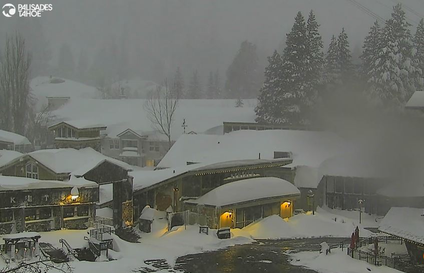
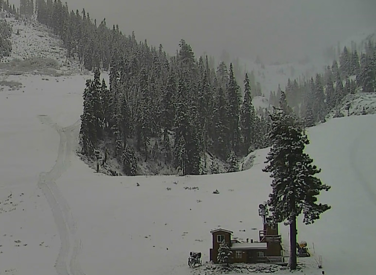
An additional 31 inches of snow fell on the mountain in the past 24 hours as we finally saw some higher snow ratios and nice dendrite flakes piling up! That brings the 3-day storm total to 72 inches or 6 feet so far, with one more day to go!
Sunday Snow:
The storm continues to spin near the Pacific NW coast sending cold moist air into the Sierra. That is keeping the snow showers firing over the northern Sierra Sunday morning, and we will see snow showers through the day and into Sunday night.
The snow showers will be lighter Sunday night and will diminish early Monday morning, and should end sometime Monday morning. Highs in the 20s for Sunday. Ridgetop winds are still strong and could gust up to 70-80+ mph over the exposed ridges through the day, continuing to keep some upper mountain lifts closed.
The snow ratios increased finally on Saturday up to 15:1 or better on the mountain. We should continue to see 15-20:1 ratios through Sunday night which will help the snow from the bands of snow moving through fluff up. From less than 8 tenths of an inch, we could see additional snowfall of around 5-10 inches near the base and 7-14 inches on the mountain by Monday morning.
Monday – Tuesday Storm:
There are some significant changes with the next storm. There are two systems with one moving through to the north and draping a front with some precipitation through northern CA and the other system dropping down the CA coast into Tuesday. Over the past 24 hours, most of the models have trended toward the precipitation staying to our north from the northern system while the low drops down the coast and into SoCal missing us.
The good news with the drier scenario could be lower winds with gusts only up to 40-50+ mph over the ridges for Monday and Tuesday, which could allow the rest of the upper mountain terrain to open that hasn’t opened yet as of Sunday. Highs into the 20s for the upper mountain and 30s for the lower elevations.
The snow levels will rise up near 5000-5500 ft. Monday and 1000 ft. higher Tuesday, and dropping below 4000 ft. at night. That will reduce the snow ratios and could mean a little rain mixes in near the base on Tuesday if we see any showers. With some models still showing steadier precipitation reaching us, the model average still has a chance for 1-5 inches of snow falling by Tuesday night.
Wednesday – Friday:
Weak high pressure is still forecast to build in over CA later in the week. The low is still spinning into SoCal Wednesday, so we could see a few clouds. Then mostly sunny skies are expected for Thursday and Friday. Lighter winds finally through the period. Highs into the 30s for Wednesday, and then into the 40s for the lower elevations near the base on Thursday and Friday.
Next Weekend’s Trough:
A final trough is still forecast to dig into northern CA next weekend into the 11th-12th. That could open the door to a weak system moving through quickly by Saturday night. We could start with partly sunny skies on Saturday and then increasing clouds and winds through the afternoon, and a quick shot of snow Saturday night.
A second system could move through around Sunday night into Monday the 11th. Some models suggest a final weak system will try to swing through around the 12th-13th before the trough shifts east.
Long-Range Forecast:
The teleconnection patterns are forecast to continue to trend away from the favorable phases for cold and snow, as the active phase of the MJO leaves the Indian Ocean and the PNA pattern trends positive through mid-month.
We got excited a few weeks ago with the forecast to trend negative which lined up with the cold and snow that was on the way, and now it lines up with the forecasts for high pressure to build in near or over the West Coast through mid-month, and possible through the 3rd week of March. This could be a prolonged drier pattern with below-average precipitation expected beyond the 12th.
Initially, if we are on the east side of the ridge the temperatures will be on the cooler side, but if it trends farther east over the West, we could warm up into the 3rd week of March.
BA


