

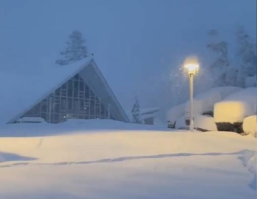
Snowfall Report:
The mountain received an additional 29 inches of snow in the past 24 hours bringing the 2-day storm totals to 52 inches so far! 16-24 inches fell at the base bringing the storm totals to 25-42 inches so far! Unfortunately, that was enough to down power lines and the power is out Tuesday morning, so the mountain will be closed for the day.
The Storm Winds Down Tuesday:
The heaviest snow has shifted south of the Tahoe Basin this morning, but we still have some convective snow showers that will pop up through the morning and possibly scattered showers into the afternoon before we completely clear by Tuesday evening.
We could see several more inches of snow today before the storm clears. Winds are dropping off and it’s cold with highs only in the 20s.
Wednesday – Thursday Storm:
The next storm is not far behind the current storm. The latest forecast model runs show snow showers moving back in Wednesday afternoon, with heavier snow for Wednesday night, and then snow showers Thursday winding down during the afternoon.
This is a colder storm and snow levels should peak out well below the base. Highs only in the 20s so we start cold as well. The winds pick back up again Wednesday with gusts up to 60+ mph from the west over the ridges in the morning and increasing to 100+ mph during the afternoon. Snow:liquid ratios of 12-15:1 on the mountain and around 10:1 at the base. So a nice light snow for the mountain by Thursday.
The winds drop off again Thursday with highs near freezing at the base and 20s on the mountain. We could see an additional 8-16 inches of snow from this storm at that base and 1-2 feet on the mountain by Thursday afternoon!
The Weekend:
High pressure builds in over CA Friday into Saturday with sunny skies and highs into the 30s. Later Saturday into Saturday night the winds could increase with ridgetop gusts up to 50+ mph.
Some forecast models suggest a weak front moves through from the north Saturday night with a few scattered snow showers possible. Then we should be dry again for Sunday with highs in the 30s.
Long-Range:
Next week the forecast models are still all over the place with the storm tracks. But the good news is that the storm door is open as another trough digs in over the West Coast.
Low-pressure systems are forecast to spin down from the north off the West coast, and possibly tap into subtropical moisture. The first one could be spinning off the West Coast by Monday, but the models are struggling with how close it is to the coast. It may sit off the coast with a dry day for Monday.
Then sometime next Tuesday into Wednesday it’s forecast to move inland with heavy precipitation possible. This time we may see higher snow levels with the warm subtropical moisture tap and lack of cold air after the low sits off the coast for a day or two.
We’ll be watching this system closely as it gets closer. The storm day should stay open, and the next storm for next Thursday into Christmas eve could track closer to the coast as it moves south down the West Coast, and it could also tap into Pacific moisture, but this time with colder air.
We will continue to track this one as well…
BA
