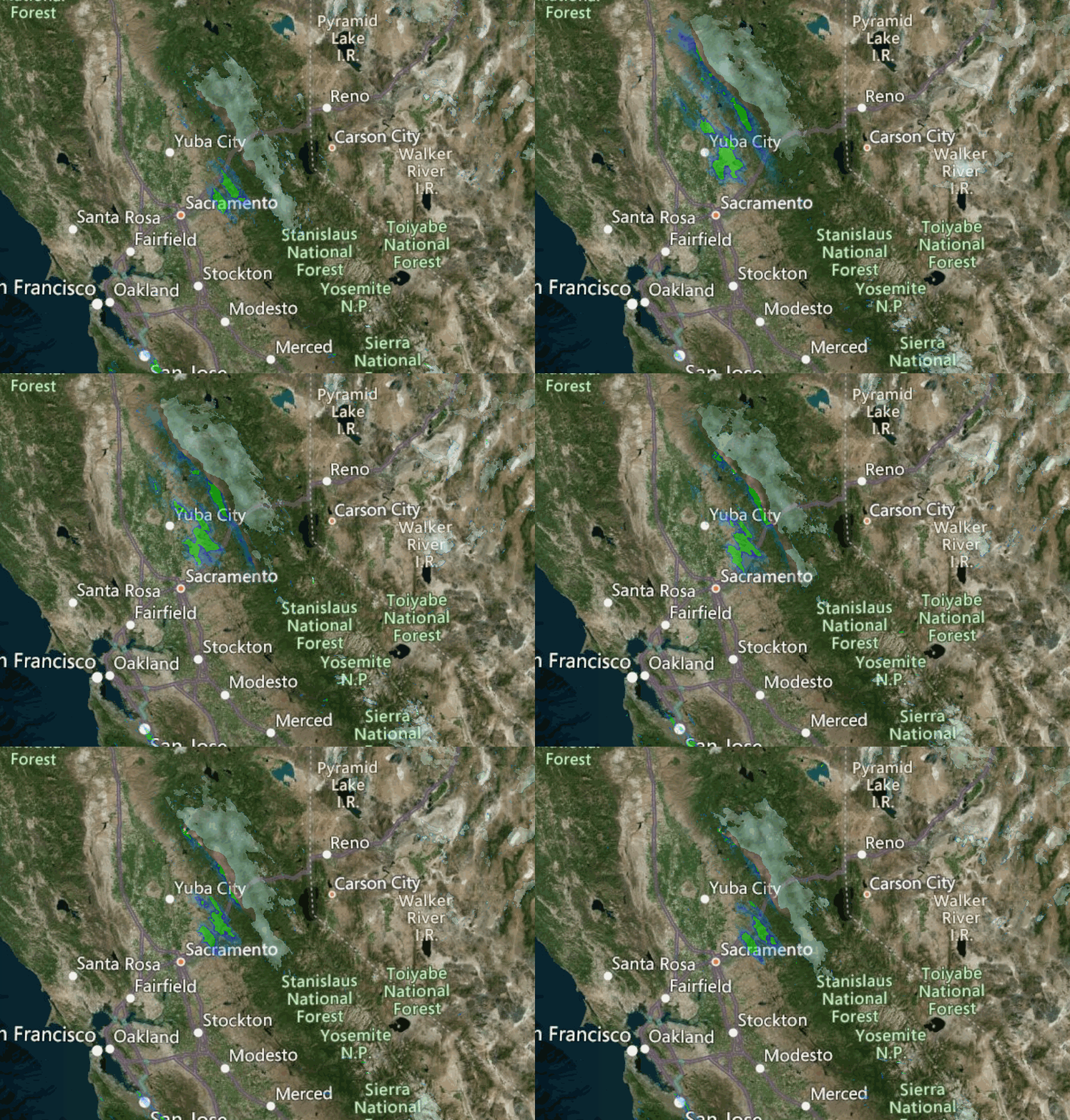
Snowfall Report:
The cold front that moved through Friday night dropped a fresh 5 inches of snow on the upper mountain and 4 inches at the base. That brings the February total to 52 inches, and the season total to 233 inches on the upper mountain.
Saturday Forecast:
Snow showers & gusty winds continue Saturday morning. We should see the snow showers clear out by late morning Saturday with clearing and some sun through the afternoon. Colder with highs in the 20s up top and 30s at the base. Ridgetop winds of 60+ mph in the morning dropping into the afternoon with gusts of 20-30+ mph. We could see a final coating to an inch of snow Saturday morning.
Sunday – Thursday:
For Sunday, we will have mostly sunny skies and lighter winds, with highs warming into the 40s for the lower mountain and 30s up top. It should be a beautiful day.
The dry weather pattern continues through Thursday with mostly sunny skies expected. We will see a see-saw of temperatures. Highs in the 40s Monday to near 50 degrees at the base. Then colder Tuesday with highs in the 40s at the base and 30s up top. Then even colder Wednesday with 30s at the base and 30s up top. Then warming back into the 40s at the base and 30s up top Thursday.
We could see some gusty north winds Tuesday into Wednesday with winds of 30-40+ mph.
Long-Range:
We may remain in the dry pattern through next weekend but with more shots of cold air. We could see another dry cold front move through Friday and Saturday. But right now it looks like the precipitation stays to our east and we continue to see partly to mostly sunny skies.
We may transition to a more active pattern the first week of March per the latest forecast model guidance. But not much confidence in that this far out. We will let you know as soon as storms could return!
BA


