

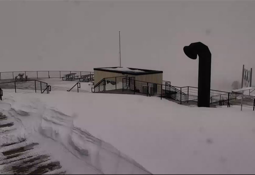
Snowfall Report:
15″ fell at the base and 18″ fell on the upper mountain over the past 24 hours as of Wednesday morning. That brings the 3-day storm totals to 34″ and the November total so far to 47″! The season total is at 48″ which is 200% of average for the date.
Wednesday – Friday:
Partly sunny with scattered snow showers Wednesday. We could see 1-2″ of final snowfall on the mountain from the snow showers. Highs in the 20s.
Mostly sunny Thursday and Friday. Highs into the 30s at lake level and 20s for the upper mountains.
The Weekend:
A weak system is forecast to move through on Saturday with a few snow showers possible, but currently only expecting a dusting to an inch of snow at best.
Breezy southwest winds up to 30+ mph over the ridges Saturday turning to the northeast Sunday. Highs in the 30s for lake level and 20s for the upper mountains.
Long-Range:
A drier pattern is likely the week of the 14th with a ridge over the West Coast.
We should start the week cold and could warm up slightly, but look to be on the cooler side of the ridge for most of the week.
We are keeping an eye on Thanksgiving week as some long-range models suggest an active storm track could return to northern CA.
BA
