

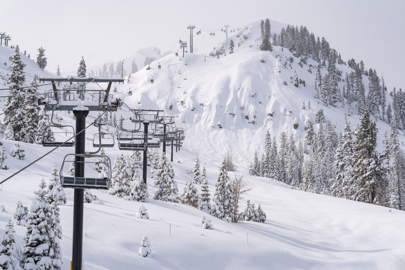
Snowfall Report:
The weaker system that moved through Friday into Friday night dropped an additional 8 inches of snow at the base and 11 inches on the upper mountain. That brings the 3-day storm totals to 3 feet at the base, and just shy of 4 feet up top with 45 inches!
That brings the season-to-date snowfall compared to average for the date to around 92%. We are getting closer to average for the season with another good storm lined up for Sunday night into Monday.
Saturday Weather:
Partly sunny for Saturday with some clouds streaming into the West Coast as storms continue to our north. Highs in the 30s. Ridgetop winds from the west gusting up to 40-60 mph, which may not to strong enough to close upper mountain lifts, but will cause some blowing snow and make it feel much colder.
Sunday Weather:
Partly sunny for Sunday with increasing clouds through the afternoon as the next storm approaches. We are expecting much stronger winds from the SW gusting up to 80-100+ mph over the ridges from the WSW. That will likely close quite a few upper mountain lifts.
A few forecast models suggest that some light snow showers could reach the mountain by the end of the day. With snow levels up around 7000 ft. Highs in the 30s on the mountains and 40s for the lower elevations.
Sunday Night – Monday Storm:
A vigorous cold front will push through Sunday night into Monday morning with a period of heavy snow. The latest model runs show the steadier snow reaching the mountain between 8-10 PM and then pushing south through the Sierra overnight.
Snow showers behind the front could linger into Monday evening before drying out overnight into Tuesday morning. Highs in the 30s for the lower elevations on Monday and 20s for the higher elevations. Ridgetop winds could still be gusting up to 40-60 mph Monday before falling into the evening.
The snow levels are closer to 7000 ft. by 5 PM Sunday evening, but are forecast to drop to around 6000-6500 ft. as the steady snow pushes in later in the evening. So we may see mostly snow down to the base. Then falling to around 5000-5500 ft. by Monday morning and 4000-4500 ft. by evening.
By the time we tally up the snowfall totals Tuesday morning, we could have around 13-18 inches at the base, 18-24 inches near mid-mountain, and 21-27 inches up top. That could bring our totals for the week to 5-6 feet on the upper mountain. Not too shabby!
Tuesday – Wednesday Weather:
Weak high pressure builds in briefly over CA Tuesday into Wednesday. Highs in the 30s for Tuesday and 40s for the lower elevations on Wednesday. We should see partly-mostly sunny skies both days, with increasing clouds later Wednesday ahead of the next storm.
Wednesday Night – Saturday Systems:
The latest model runs continue to show 2-3 weaker systems moving through the Pacific NW and brushing the northern Sierra with precipitation. The first one is Wednesday night into Thursday and the next for Friday. The GFS model suggests another next Saturday but the trustier European model shows us clearing out.
Snow levels will likely be on the higher side with light amounts of snow possible for the upper mountain. We’ll continue to fine-tune the forecast over the next several days.
Drier or More Brushby Systems?
The operational models diverge starting next weekend into the week of the 24th, with some models trying to keep us on the southern edge of the storm track while others show the storm track shifting north through about the 26th.
I’m leaning towards stronger high pressure over CA which would push the storm track much farther north bringing us a dry and milder pattern, unless the trends from all forecast models move towards some precipitation during the period.
Long-Range Forecast:
The long-range models continue to show troughing over the West Coast starting around the 27th through the end of March. That could bring us a colder and more active pattern for several days near the end of the month. We’ll be watching the trends closely.
BA
