

Snowfall Report:
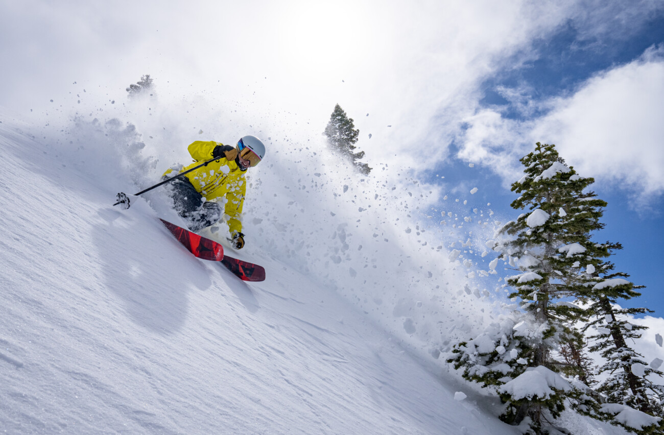
This storm dropped exactly what we expected. We picked up an additional 17 inches of snow up top in the past 24 hours as of 6 AM Sunday, bringing the 2-day storm total to 30 inches! The forecast was for 23-30 inches, so we picked up the high-end of the forecast. Add in the Thursday storm and the 3-day total is 43 inches!
An additional 7 inches at the base on Saturday brings the 2-day storm total to 11 inches and the 3-day total to 16 inches! The upper mountain has now picked up 102 inches so far for the season! That is around 112% of the average for the date.
Bluebird Sunday:
Sunday will be beautiful with mostly sunny skies and highs in the 30s along with light winds. The sun with highs in the 30s will make the fresh snow a little sticky by afternoon, especially for the lower elevations.
Monday Mild System:
A weak, mild, and fast-moving system will sweep through Monday morning into the afternoon and will clear out Monday evening. We are catching the southern edge of a weakening system. Highs in the 30s. Ridgetop winds increasing from the southwest with gusts up to 60-80+ mph which could affect some upper mountain lifts.
Snow levels look a little higher this morning, especially without the heavier precipitation rates to help drag them lower. They could be around 7000-8000 ft. to start Monday morning and may only fall to around 6300-7300 ft. at their lowest point during the day. That means mostly rain is expected down at the base, and a mix up to 7000 ft.
By Monday evening we could see snowfall totals of a coating up to 3 inches near mid-mountain, and 1-4 inches up top.
Tuesday – Friday:
High pressure builds in over the region starting Tuesday and lasting into Friday. That will bring a milder and drier pattern to the northern Sierra. Mostly sunny days with highs in the 40s for the lower elevations and 30s for the higher elevations above 8000 ft.
Saturday Storm:
The trend over the last few days is for the eastern Pacific trough to push a bit closer. A storm spinning up into the trough will track into the Pacific NW by Saturday. We may catch the southern edge of this weakening system on Saturday.
We’ll be tracking this system all week to see how much precipitation we could see and if we could see some snow for the mountain to refresh the slopes. The trend has been towards a few to several inches of snow, so we’ll be watching closely.
Long-Range Forecast:
The next system that the models now suggest could dig far enough south to bring some light snow is on Christmas Eve. This doesn’t look like it would be a significant system as it would weaken as it moves inland like the others, but we’ll keep an eye on it as snow on Christmas Eve/Day is always fun.
The long-range models have a less amplified ridge over the West and southern CA on the latest runs, with the northern Pacific heights low across into the Pacific NW. That is a zonal pattern with the jet stream riding along under the trough and pointed towards the Pacific NW. That pattern would bring an active pattern to the Pacific NW with northern CA on the southern edge.
If this trend continues, we could be right on the southern edge of the wet pattern the last week of the month. We could get the weakened end of the storms but at least we could see some precipitation and snow and not a completely dry pattern. We’ll continue to watch the trends…
BA
