Snowfall Report:
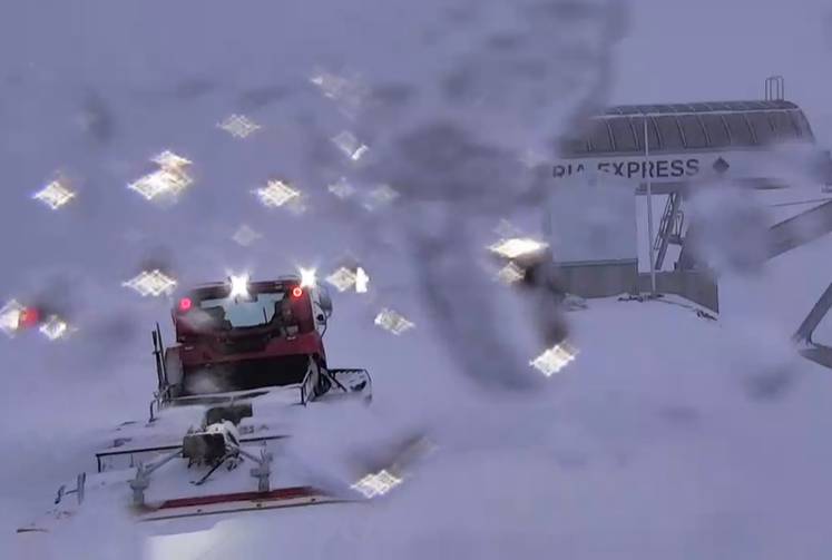
4 inches of new snow fell on the mountain Wednesday night, and the snow continues to fall Thursday.
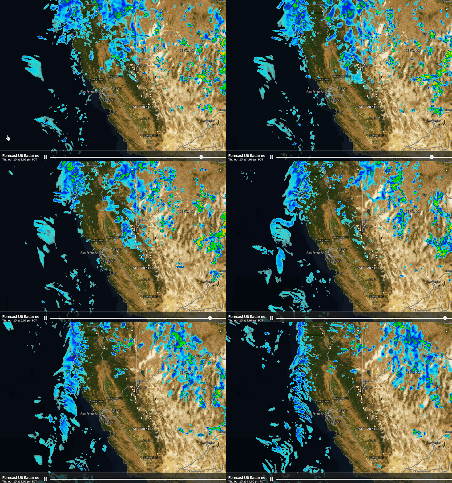
Thursday -Thursday Night Storm:
The snow continues to fall on the mountain Thursday, and showers could linger into Thursday night. Snow levels start below the base but then rise Thursday up to 6000 – 7000 ft. That could change snow to rain near the base, and possibly changing back Thursday night with the base right on the rain/snow line.
It stays cold with highs only in the 30s. The winds for Thursday will be gusty from the southwest with gusts up to 60-70+ mph up top. That could affect some lifts. We could see an additional 5-10 inches of snow on the mountain by Friday morning, with the forecast for the base depending on what happens with the snow levels.
Friday Night – Saturday Storm:
During the day on Friday, we could see a break between storms with some sun and clouds. But a few scattered showers could also continue at times. Highs into the 40s at the base & 30s up top. Ridgetop winds from the southwest gusting up to 40+ mph in the morning and then increasing again through the afternoon. Snow levels rise up to 6800-7800 ft. so any showers could be rain on the lower mountain.
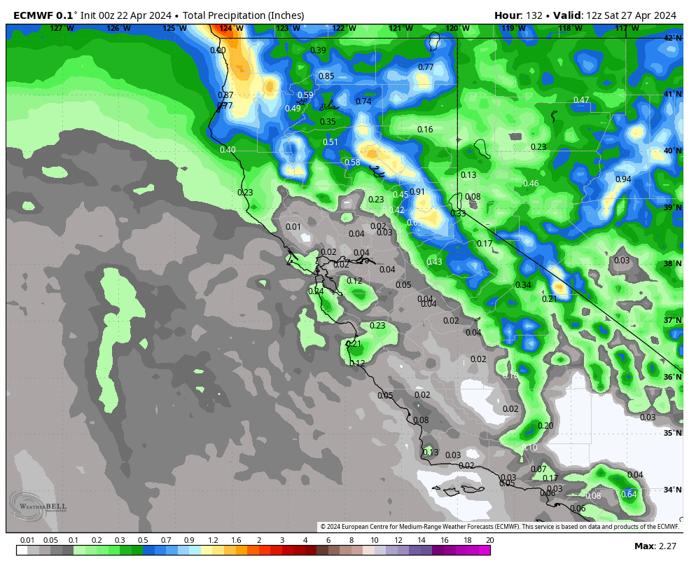
Friday night into Saturday the next storm is expected to push more rain and snow into the northern Sierra after midnight. Snow levels could fall to around 6000-7000 ft. by Saturday morning and then staying in that range through the day with some rain possible at the base. The showers could end by the end of the day. Highs in the 30s. Ridgetop winds up to 90+ mph up top, likely closing some upper mountain lifts.
Rain & snow at the base making the forecast tricky, but estimates are for 0-4 inches at the base depending on whether or not we change to snow by Saturday morning. 4-10 inches of new snow are possible on the mountain above 7000 ft. by Saturday evening.
Sunday – Monday:
We should see nicer weather for Easter Sunday as the sun comes out, the winds drop down, and highs warm into the 40s and near 50 degrees at the base. The nice weather should continue into Monday but with increasing winds and clouds throughout the day.
Ridgetop winds gusting up to 40+ mph Sunday and then strong winds are possible for Monday ahead of the next storm. We could see gusts from the southwest up to 100+ mph by afternoon which could close some upper mountain lifts.
Long-Range:
The next storm could move in as early as Monday night into Tuesday. This system could stay just to our north or we could see some light-moderate rain & snow. We will continue to fine-tune the forecast as we get closer.
We could see a break Wednesday before another storm moves in later next week. The forecast models show a decent storm for next Thursday into Friday. We will be watching the trends on that storm over the next week.
Then we could see a drier pattern return starting Saturday the 23rd into the week of the 25th.
BA

