Snowfall Report:
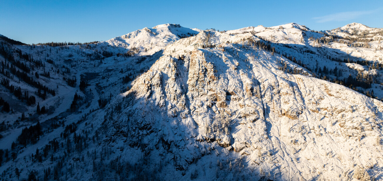
The quick-moving storm that moved through Monday afternoon dropped 6 inches of new snow up top, bringing the season-to-date snowfall to 20 inches. We saw snow down to the base of the mountain where 3 inches of snow fell.
Tuesday:
Behind the storm, we have lighter winds and clearer skies. We will see mostly sunny skies on Tuesday with highs in the 30s on the mountains and 40s for the lower elevations near the base.
Wednesday – Friday Storm:
Wednesday morning we will see increasing winds and clouds. Ridgetop winds from the southwest gusting up to 100+ mph over the exposed ridges by afternoon. Highs into the 30s and 40s.
The leading edge of the precipitation with the next front is forecast to arrive between early and late afternoon on Wednesday. This could be a quick round of some steadier showers into Wednesday evening.
We should see a lull later Wednesday night through Thursday with a few scattered showers possible. Then another round of steadier showers Thursday night and Friday before things taper off Friday night. The winds will drop on Thursday, and colder air will move in by Friday with highs only in the 30s.
Snow levels will start out up around 7500-8000 ft. Wednesday afternoon. They should dip briefly close to the base with evaporational cooling Wednesday afternoon-evening. Then as the showers become more scattered Wednesday night into Thursday they should jump back up to 7000-7500 ft. and hover there through Thursday.
Then Thursday night into Friday the colder air moves in with snow levels dropping below 6000 ft. (the base) and below 5000 ft. by the end Friday evening. That means we will see mostly rain for the lower elevations near the base until Thursday night, and wet snow on the upper mountain. In total, we could see 1-3 inches near the base and 3-7 inches on the upper mountain by Friday night.
The Weekend:
We will have a break between storms for the weekend. We should see partly-mostly sunny skies but it stays cold with highs only into the 30s down to the lower elevations.
Sunday Night – Monday Storm:
The next storm looks to quickly move through to our north Sunday night into Monday morning, catching the Tahoe basin on the southern end.
This storm will already have cold air in place, so if it tracks far enough south to reach us we should see light snow. Maybe 1-3 inches of additional snowfall for the mountain. That combined with the cold nights through the weekend, the snowmaking crew should be able to continue making snow to add to the natural base.
Long-Range Forecast:
Starting next Tuesday high pressure starts to build in over the West Coast, with a pretty strong high-pressure ridge forecast by the middle of next week. The trend on the long-range models is for the trough to stay off the West Coast and the ridge over the West longer. We may have to wait until the last week or the last few days of the month for the ridge to break down enough to allow the next storm to move into CA.
Temperatures may stay on the colder side with 30s for highs to start the week and maybe 40s near the base later in the week, with colder air at night that will hopefully allow snowmaking through the drier period. We’ll continue to watch the trends to see when we could get back into a more active pattern.
BA


